Area Overview for GU21 5RH
Photos of GU21 5RH
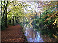
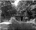
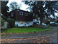
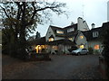
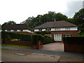
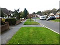
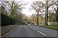
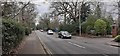
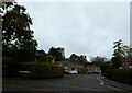
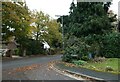
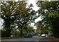
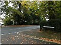
50 photos from this area
Area Information
Key information about the GU21 5RH including its size, population, and administrative classification.
- Area Type
- Postcode
- Area Size
- 1.2 hectares
- Population
- 2240
- Population Density
- 4486 people/km²
House Prices in GU21 5RH
37
Properties
£238,640
Average Sold Price
£122,000
Lowest Price
£390,000
Highest Price
Showing 37 properties
| Address | Type | Beds | Baths | Last Sale Price | Last Sale Date | |
|---|---|---|---|---|---|---|
| 1 Lockwood Path, Sheerwater, Woking, GU21 5RH | Terraced | 3 | 1 | £325,000 | Oct 2022 | |
| 5 Lockwood Path, Sheerwater, Woking, GU21 5RH | house | - | - | £287,000 | May 2021 | |
| 31 Lockwood Path, Sheerwater, Woking, GU21 5RH | Terraced | 3 | 1 | £310,000 | Jun 2020 | |
| 10 Lockwood Path, Sheerwater, Woking, GU21 5RH | Semi-detached | 3 | 1 | £330,000 | Mar 2020 | |
| 9 Lockwood Path, Sheerwater, Woking, GU21 5RH | Semi-detached | 3 | 1 | £390,000 | Aug 2019 | |
| 23 Lockwood Path, Sheerwater, Woking, GU21 5RH | Terraced | 3 | - | £330,000 | Sep 2018 | |
| 6 Lockwood Path, Sheerwater, Woking, GU21 5RH | Semi-detached | 4 | - | £355,000 | Feb 2016 | |
| 29 Lockwood Path, Sheerwater, Woking, GU21 5RH | Terraced | 3 | - | £210,000 | Dec 2012 | |
| 15 Lockwood Path, Sheerwater, Woking, GU21 5RH | house | 3 | - | £230,000 | Jun 2012 | |
| 33 Lockwood Path, Sheerwater, Woking, GU21 5RH | Maisonette | 3 | - | £165,000 | May 2012 |
Page 1 of 4
Energy Efficiency in GU21 5RH
Amenities
Schools
| Rank | School | Type | Entry gender | Ages |
|---|
Explore more schools in this area
Go to Schools tabDemographics
Household Size
Family (3-5 people)
most common
Accommodation Type
Houses
most common
Tenure
54
majority
Ethnic Group
White
most common
Religion
N/A
most common
Household Composition
N/A
most common
Age
47
median
Adults (30-64 years)
most common
Household Deprivation
N/A
with no deprivation
NS-SEC
23
in Lower managerial occupations
Explore more demographic insights in this area
Go to Demographics tabPlanning
Planning Constraints
- Flood RiskPremium
- Ramsar Wetland SitesPremium
- Area of Outstanding Natural BeautyPremium
- Protected Nature ReservePremium
- Protected WoodlandPremium