Area Overview for GU21 2SF
Photos of GU21 2SF
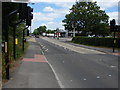
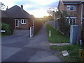
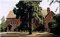
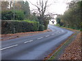
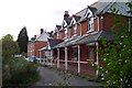
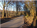
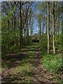
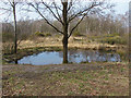
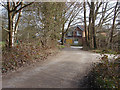
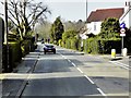
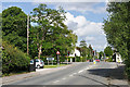
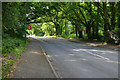
40 photos from this area
Area Information
Key information about the GU21 2SF including its size, population, and administrative classification.
- Area Type
- Postcode
- Area Size
- 1.4 hectares
- Population
- 2296
- Population Density
- 4643 people/km²
House Prices in GU21 2SF
29
Properties
£418,684
Average Sold Price
£105,000
Lowest Price
£885,000
Highest Price
Showing 29 properties
| Address | Type | Beds | Baths | Last Sale Price | Last Sale Date | |
|---|---|---|---|---|---|---|
| Hillway, Bagshot Road, Woking, GU21 2SF | Detached | 4 | 2 | £780,000 | Mar 2024 | |
| 38 Bagshot Road, Woking, GU21 2SF | Semi-detached | 4 | - | £490,000 | Sep 2021 | |
| 40 Bagshot Road, Woking, GU21 2SF | Semi-detached | 4 | - | £485,000 | Aug 2021 | |
| 44 Bagshot Road, Woking, GU21 2SF | Semi-detached | 4 | 2 | £472,000 | Feb 2021 | |
| Cheylesmore House, Bagshot Road, Woking, GU21 2SF | Detached | 4 | 3 | £885,000 | Nov 2020 | |
| Burroughs, Bagshot Road, Woking, GU21 2SF | Detached | 5 | 1 | £565,000 | Dec 2019 | |
| Heathercroft, Bagshot Road, Woking, GU21 2SF | Semi-detached | 3 | 1 | £490,000 | Apr 2019 | |
| 48 Bagshot Road, Woking, GU21 2SF | Semi-detached | 3 | 1 | £340,000 | Nov 2017 | |
| Twisted Willow, 44A Bagshot Road, Woking, GU21 2SF | Detached | 4 | 2 | £475,000 | Jan 2015 | |
| Ashfield, Bagshot Road, Woking, GU21 2SF | Detached | 4 | 3 | £485,000 | Feb 2014 |
Page 1 of 3
Energy Efficiency in GU21 2SF
Amenities
Schools
| Rank | School | Type | Entry gender | Ages |
|---|
Explore more schools in this area
Go to Schools tabDemographics
Household Size
Family (3-5 people)
most common
Accommodation Type
Houses
most common
Tenure
79
majority
Ethnic Group
White
most common
Religion
N/A
most common
Household Composition
N/A
most common
Age
47
median
Adults (30-64 years)
most common
Household Deprivation
N/A
with no deprivation
NS-SEC
54
in Lower managerial occupations
Explore more demographic insights in this area
Go to Demographics tabPlanning
Planning Constraints
- Flood RiskPremium
- Ramsar Wetland SitesPremium
- Area of Outstanding Natural BeautyPremium
- Protected Nature ReservePremium
- Protected WoodlandPremium