Area Overview for GU21 2DL
Photos of GU21 2DL
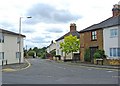

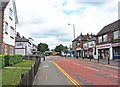
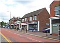
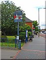
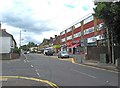


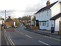
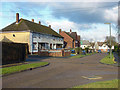
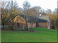
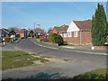
65 photos from this area
Area Information
Key information about the GU21 2DL including its size, population, and administrative classification.
- Area Type
- Postcode
- Area Size
- 2.9 hectares
- Population
- 2085
- Population Density
- 4330 people/km²
House Prices in GU21 2DL
38
Properties
£253,792
Average Sold Price
£68,000
Lowest Price
£640,000
Highest Price
Showing 38 properties
| Address | Type | Beds | Baths | Last Sale Price | Last Sale Date | |
|---|---|---|---|---|---|---|
| 157 Alexandra Gardens, Knaphill, Woking, GU21 2DL | Detached | 4 | 2 | £640,000 | May 2024 | |
| 137 Alexandra Gardens, Knaphill, Woking, GU21 2DL | Flat | 2 | 1 | £267,000 | Mar 2024 | |
| 146 Alexandra Gardens, Knaphill, Woking, GU21 2DL | Terraced | 3 | 2 | £499,950 | Jan 2023 | |
| 149 Alexandra Gardens, Knaphill, Woking, GU21 2DL | Semi-detached | 3 | 2 | £484,000 | Nov 2022 | |
| 131 Alexandra Gardens, Knaphill, Woking, GU21 2DL | Flat | - | - | £235,000 | Oct 2021 | |
| 159 Alexandra Gardens, Knaphill, Woking, GU21 2DL | house | 4 | 2 | £600,000 | Sep 2021 | |
| 139 Alexandra Gardens, Knaphill, Woking, GU21 2DL | Flat | - | - | £258,500 | Apr 2021 | |
| 153 Alexandra Gardens, Knaphill, Woking, GU21 2DL | Detached | 4 | - | £625,000 | Mar 2021 | |
| 147 Alexandra Gardens, Knaphill, Woking, GU21 2DL | Semi-detached | 3 | 1 | £415,000 | Mar 2021 | |
| 145 Alexandra Gardens, Knaphill, Woking, GU21 2DL | Semi-detached | 3 | - | £395,000 | Aug 2015 |
Page 1 of 4
Energy Efficiency in GU21 2DL
Amenities
Schools
| Rank | School | Type | Entry gender | Ages |
|---|
Explore more schools in this area
Go to Schools tabDemographics
Household Size
Family (3-5 people)
most common
Accommodation Type
Houses
most common
Tenure
64
majority
Ethnic Group
White
most common
Religion
N/A
most common
Household Composition
N/A
most common
Age
47
median
Adults (30-64 years)
most common
Household Deprivation
N/A
with no deprivation
NS-SEC
48
in Lower managerial occupations
Explore more demographic insights in this area
Go to Demographics tabPlanning
Planning Constraints
- Flood RiskPremium
- Ramsar Wetland SitesPremium
- Area of Outstanding Natural BeautyPremium
- Protected Nature ReservePremium
- Protected WoodlandPremium