Area Overview for GU20 6EA
Photos of GU20 6EA
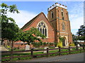
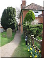
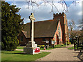
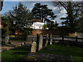
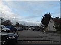
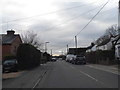
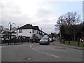
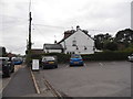
48 photos from this area
Area Information
Key information about the GU20 6EA including its size, population, and administrative classification.
- Area Type
- Postcode
- Area Size
- 9965 m²
- Population
- 1485
- Population Density
- 329 people/km²
House Prices in GU20 6EA
20
Properties
£477,288
Average Sold Price
£141,250
Lowest Price
£785,000
Highest Price
Showing 20 properties
| Address | Type | Beds | Baths | Last Sale Price | Last Sale Date | |
|---|---|---|---|---|---|---|
| 9 Cooper Road, Windlesham, GU20 6EA | Detached | 4 | 1 | £725,000 | Jul 2025 | |
| 42 Cooper Road, Windlesham, GU20 6EA | Detached | 4 | 2 | £785,000 | Jun 2023 | |
| 3 Cooper Road, Windlesham, GU20 6EA | Detached | 4 | 1 | £660,000 | May 2023 | |
| 5 Cooper Road, Windlesham, GU20 6EA | Detached | 4 | 1 | £690,000 | Nov 2022 | |
| 7 Cooper Road, Windlesham, GU20 6EA | Detached | 4 | 1 | £410,000 | Sep 2013 | |
| 28 Cooper Road, Windlesham, GU20 6EA | Bungalow | - | - | £431,000 | Apr 2013 | |
| 26 Cooper Road, Windlesham, GU20 6EA | house | 4 | - | £430,000 | Nov 2012 | |
| 30 Cooper Road, Windlesham, GU20 6EA | Detached | 4 | 2 | £360,000 | Jan 2009 | |
| 22 Cooper Road, Windlesham, GU20 6EA | Semi-detached | 4 | 2 | £445,000 | May 2007 | |
| 1 Cooper Road, Windlesham, GU20 6EA | Detached | - | - | £430,000 | Jun 2006 |
Page 1 of 2
Energy Efficiency in GU20 6EA
Amenities
Schools
| Rank | School | Type | Entry gender | Ages |
|---|
Explore more schools in this area
Go to Schools tabDemographics
Household Size
Two person
most common
Accommodation Type
Houses
most common
Tenure
88
majority
Ethnic Group
White
most common
Religion
N/A
most common
Household Composition
N/A
most common
Age
47
median
Adults (30-64 years)
most common
Household Deprivation
N/A
with no deprivation
NS-SEC
55
in Lower managerial occupations
Explore more demographic insights in this area
Go to Demographics tabPlanning
Planning Constraints
- Flood RiskPremium
- Ramsar Wetland SitesPremium
- Area of Outstanding Natural BeautyPremium
- Protected Nature ReservePremium
- Protected WoodlandPremium