Area Overview for GU2 7SA
Photos of GU2 7SA
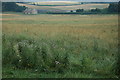

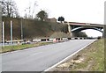
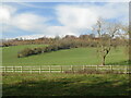
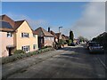
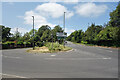
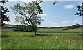
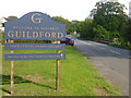
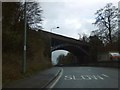
48 photos from this area
Area Information
Key information about the GU2 7SA including its size, population, and administrative classification.
- Area Type
- Postcode
- Area Size
- 14.3 hectares
- Population
- 4674
- Population Density
- 2634 people/km²
House Prices in GU2 7SA
21
Properties
£318,565
Average Sold Price
£99,500
Lowest Price
£572,000
Highest Price
Showing 21 properties
| Address | Type | Beds | Baths | Last Sale Price | Last Sale Date | |
|---|---|---|---|---|---|---|
| 5 Beechcroft Drive, Guildford, GU2 7SA | Detached | 3 | 1 | £520,000 | Dec 2024 | |
| 4 Beechcroft Drive, Guildford, GU2 7SA | Detached | 3 | 1 | £572,000 | Jul 2023 | |
| 16 Beechcroft Drive, Guildford, GU2 7SA | Retail | 3 | 2 | £500,000 | Sep 2022 | |
| 18 Beechcroft Drive, Guildford, GU2 7SA | Detached | 2 | - | £285,000 | Dec 2014 | |
| 10 Beechcroft Drive, Guildford, GU2 7SA | Semi-detached | 3 | - | £303,333 | Nov 2014 | |
| 6 Beechcroft Drive, Guildford, GU2 7SA | Detached | 4 | 3 | £330,000 | Jun 2014 | |
| 12 Beechcroft Drive, Guildford, GU2 7SA | Flat | - | 1 | £246,000 | May 2005 | |
| 20 Beechcroft Drive, Guildford, GU2 7SA | Detached | - | - | £310,000 | Apr 2005 | |
| 13 Beechcroft Drive, Guildford, GU2 7SA | Terraced | - | - | £270,000 | Mar 2004 | |
| The Dawn, 2 Beechcroft Drive, Guildford, GU2 7SA | Detached | 3 | 1 | £269,950 | Oct 2003 |
Page 1 of 3
Energy Efficiency in GU2 7SA
Amenities
Schools
| Rank | School | Type | Entry gender | Ages |
|---|
Explore more schools in this area
Go to Schools tabDemographics
Household Size
Family (3-5 people)
most common
Accommodation Type
Houses
most common
Tenure
55
majority
Ethnic Group
White
most common
Religion
N/A
most common
Household Composition
N/A
most common
Age
22
median
Young Adults (15-29 years)
most common
Household Deprivation
N/A
with no deprivation
NS-SEC
12
in Lower managerial occupations
Explore more demographic insights in this area
Go to Demographics tabPlanning
Planning Constraints
- Flood RiskPremium
- Ramsar Wetland SitesPremium
- Protected Nature ReservePremium
- Protected WoodlandPremium