Area Overview for GU2 7PF
Photos of GU2 7PF
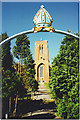
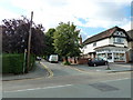
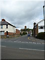
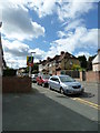
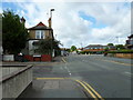
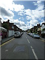
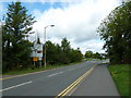
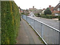
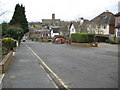
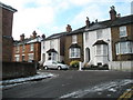
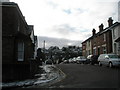
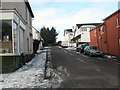
100 photos from this area
Area Information
Key information about the GU2 7PF including its size, population, and administrative classification.
- Area Type
- Postcode
- Area Size
- 2.7 hectares
- Population
- Not available
- Population Density
- Not available
House Prices in GU2 7PF
24
Properties
£884,200
Average Sold Price
£160,000
Lowest Price
£1,520,000
Highest Price
Showing 24 properties
| Address | Type | Beds | Baths | Last Sale Price | Last Sale Date | |
|---|---|---|---|---|---|---|
| 95 Farnham Road, Guildford, GU2 7PF | Detached | 5 | 2 | £1,190,000 | Dec 2024 | |
| Fairview, 91 Farnham Road, Guildford, GU2 7PF | house | - | - | £1,225,000 | Jul 2024 | |
| Rowan Tree House, 75 Farnham Road, Guildford, GU2 7PF | Detached | 4 | 1 | £1,205,000 | Aug 2023 | |
| 101 Farnham Road, Guildford, GU2 7PF | Retail | 4 | 2 | £1,250,000 | Oct 2022 | |
| 69 Farnham Road, Guildford, GU2 7PF | Detached | 4 | 3 | £1,520,000 | Mar 2022 | |
| 115 Farnham Road, Guildford, GU2 7PF | house | - | - | £1,080,000 | Sep 2021 | |
| 111 Farnham Road, Guildford, GU2 7PF | house | 4 | - | £1,011,500 | Aug 2021 | |
| 105 Farnham Road, Guildford, GU2 7PF | Detached | 4 | 1 | £950,000 | Sep 2019 | |
| 99 Farnham Road, Guildford, GU2 7PF | Detached | 3 | 1 | £970,000 | Jan 2019 | |
| 83 Farnham Road, Guildford, GU2 7PF | Detached | 3 | 1 | £762,000 | Jan 2018 |
Page 1 of 3
Energy Efficiency in GU2 7PF
Amenities
Schools
| Rank | School | Type | Entry gender | Ages |
|---|
Explore more schools in this area
Go to Schools tabDemographics
Household Size
Family (3-5 people)
most common
Accommodation Type
Houses
most common
Tenure
61
majority
Ethnic Group
White
most common
Religion
N/A
most common
Household Composition
N/A
most common
Age
47
median
Adults (30-64 years)
most common
Household Deprivation
N/A
with no deprivation
NS-SEC
42
in Lower managerial occupations
Explore more demographic insights in this area
Go to Demographics tabPlanning
Planning Constraints
- Flood RiskPremium
- Ramsar Wetland SitesPremium
- Area of Outstanding Natural BeautyPremium
- Protected Nature ReservePremium
- Protected WoodlandPremium