Area Overview for GU16 9BB
Photos of GU16 9BB
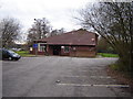
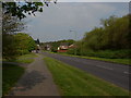
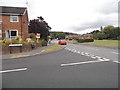
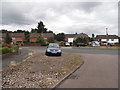
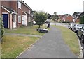
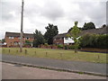
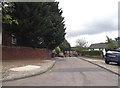
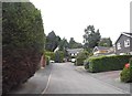
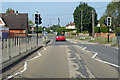
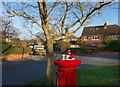
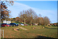
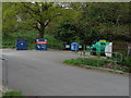
21 photos from this area
Area Information
Key information about the GU16 9BB including its size, population, and administrative classification.
- Area Type
- Postcode
- Area Size
- 3.5 hectares
- Population
- 1502
- Population Density
- 2225 people/km²
House Prices in GU16 9BB
51
Properties
£262,267
Average Sold Price
£55,000
Lowest Price
£545,000
Highest Price
Showing 51 properties
| Address | Type | Beds | Baths | Last Sale Price | Last Sale Date | |
|---|---|---|---|---|---|---|
| 79 Worsley Road, Frimley, Camberley, GU16 9BB | house | 3 | 1 | £545,000 | Nov 2025 | |
| 141 Worsley Road, Frimley, Camberley, GU16 9BB | Semi-detached | 3 | 2 | £510,000 | Jun 2025 | |
| 129 Worsley Road, Frimley, Camberley, GU16 9BB | Semi-detached | 3 | 2 | £465,000 | Nov 2024 | |
| 143 Worsley Road, Frimley, Camberley, GU16 9BB | Semi-detached | 3 | 1 | £360,000 | Apr 2021 | |
| 93 Worsley Road, Frimley, Camberley, GU16 9BB | Land | 3 | 2 | £400,000 | Mar 2020 | |
| 135 Worsley Road, Frimley, Camberley, GU16 9BB | Semi-detached | 3 | 2 | £375,000 | Mar 2020 | |
| 91 Worsley Road, Frimley, Camberley, GU16 9BB | Semi-detached | 3 | 2 | £350,000 | Dec 2019 | |
| 133 Worsley Road, Frimley, Camberley, GU16 9BB | Semi-detached | 3 | 1 | £315,000 | Oct 2019 | |
| 139 Worsley Road, Frimley, Camberley, GU16 9BB | house | 3 | - | £357,000 | Aug 2019 | |
| 63 Worsley Road, Frimley, Camberley, GU16 9BB | Semi-detached | 3 | - | £350,000 | Jun 2019 |
Page 1 of 6
Energy Efficiency in GU16 9BB
Amenities
Schools
| Rank | School | Type | Entry gender | Ages |
|---|
Explore more schools in this area
Go to Schools tabDemographics
Household Size
Family (3-5 people)
most common
Accommodation Type
Houses
most common
Tenure
70
majority
Ethnic Group
White
most common
Religion
N/A
most common
Household Composition
N/A
most common
Age
47
median
Adults (30-64 years)
most common
Household Deprivation
N/A
with no deprivation
NS-SEC
40
in Lower managerial occupations
Explore more demographic insights in this area
Go to Demographics tabPlanning
Planning Constraints
- Flood RiskPremium
- Ramsar Wetland SitesPremium
- Area of Outstanding Natural BeautyPremium
- Protected Nature ReservePremium
- Protected WoodlandPremium