Area Overview for GU15 3LR
Photos of GU15 3LR
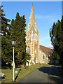
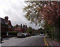
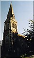
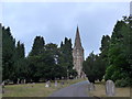
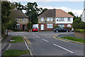
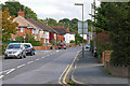
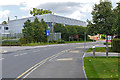
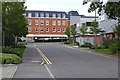
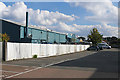
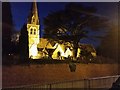
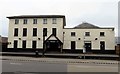
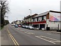
42 photos from this area
Area Information
Key information about the GU15 3LR including its size, population, and administrative classification.
- Area Type
- Postcode
- Area Size
- 6264 m²
- Population
- 2162
- Population Density
- 1808 people/km²
House Prices in GU15 3LR
24
Properties
£135,677
Average Sold Price
£60,000
Lowest Price
£205,000
Highest Price
Showing 24 properties
| Address | Type | Beds | Baths | Last Sale Price | Last Sale Date | |
|---|---|---|---|---|---|---|
| 14 Chapel Road, Camberley, GU15 3LR | Bungalow | 1 | 1 | £185,000 | May 2023 | |
| 9 Chapel Road, Camberley, GU15 3LR | Maisonette | 2 | 1 | £205,000 | Apr 2021 | |
| 5 Chapel Road, Camberley, GU15 3LR | Maisonette | - | - | £170,000 | Mar 2020 | |
| 1 Chapel Road, Camberley, GU15 3LR | Maisonette | 2 | 1 | £155,000 | Jul 2013 | |
| 2 Chapel Road, Camberley, GU15 3LR | Flat | - | - | £135,000 | Jun 2013 | |
| 3 Chapel Road, Camberley, GU15 3LR | Flat | - | - | £119,950 | Nov 2006 | |
| 13 Chapel Road, Camberley, GU15 3LR | Maisonette | 2 | 1 | £125,000 | Jun 2006 | |
| 7 Chapel Road, Camberley, GU15 3LR | Maisonette | 2 | 1 | £134,000 | Mar 2005 | |
| 11 Chapel Road, Camberley, GU15 3LR | Maisonette | 2 | 1 | £128,500 | Oct 2003 | |
| 15 Chapel Road, Camberley, GU15 3LR | Flat | - | - | £60,000 | Feb 2003 |
Page 1 of 3
Energy Efficiency in GU15 3LR
Amenities
Schools
| Rank | School | Type | Entry gender | Ages |
|---|
Explore more schools in this area
Go to Schools tabDemographics
Household Size
Family (3-5 people)
most common
Accommodation Type
Flats
most common
Tenure
37
majority
Ethnic Group
White
most common
Religion
N/A
most common
Household Composition
N/A
most common
Age
47
median
Adults (30-64 years)
most common
Household Deprivation
N/A
with no deprivation
NS-SEC
28
in Lower managerial occupations
Explore more demographic insights in this area
Go to Demographics tabPlanning
Planning Constraints
- Flood RiskPremium
- Ramsar Wetland SitesPremium
- Area of Outstanding Natural BeautyPremium
- Protected Nature ReservePremium
- Protected WoodlandPremium