Area Overview for GU15 2NT
Photos of GU15 2NT
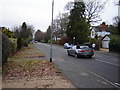

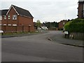
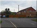

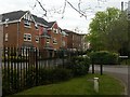
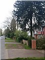
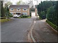
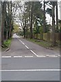
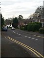
37 photos from this area
Area Information
Key information about the GU15 2NT including its size, population, and administrative classification.
- Area Type
- Postcode
- Area Size
- 1.6 hectares
- Population
- 2262
- Population Density
- 4249 people/km²
House Prices in GU15 2NT
36
Properties
£494,000
Average Sold Price
£176,000
Lowest Price
£805,000
Highest Price
Showing 36 properties
| Address | Type | Beds | Baths | Last Sale Price | Last Sale Date | |
|---|---|---|---|---|---|---|
| 222 Gordon Avenue, Camberley, GU15 2NT | Semi-detached | 3 | 1 | £560,000 | Mar 2025 | |
| 212 Gordon Avenue, Camberley, GU15 2NT | Detached | 4 | 2 | £805,000 | Jan 2025 | |
| 184 Gordon Avenue, Camberley, GU15 2NT | Detached | 4 | 2 | £515,000 | Jun 2024 | |
| 198 Gordon Avenue, Camberley, GU15 2NT | Detached | 3 | 2 | £535,000 | Jun 2023 | |
| 182 Gordon Avenue, Camberley, GU15 2NT | Detached | 3 | 2 | £542,500 | Dec 2022 | |
| 186 Gordon Avenue, Camberley, GU15 2NT | Semi-detached | 3 | 1 | £645,000 | Nov 2022 | |
| 208 Gordon Avenue, Camberley, GU15 2NT | house | - | - | £785,000 | Sep 2022 | |
| 206 Gordon Avenue, Camberley, GU15 2NT | house | - | - | £617,500 | Aug 2021 | |
| 180 Gordon Avenue, Camberley, GU15 2NT | Detached | 3 | 3 | £555,000 | Aug 2020 | |
| 214 Gordon Avenue, Camberley, GU15 2NT | Semi-detached | 5 | 3 | £590,000 | Mar 2020 |
Page 1 of 4
Energy Efficiency in GU15 2NT
Amenities
Schools
| Rank | School | Type | Entry gender | Ages |
|---|
Explore more schools in this area
Go to Schools tabDemographics
Household Size
One person
most common
Accommodation Type
Flats
most common
Tenure
63
majority
Ethnic Group
White
most common
Religion
N/A
most common
Household Composition
N/A
most common
Age
47
median
Adults (30-64 years)
most common
Household Deprivation
N/A
with no deprivation
NS-SEC
44
in Lower managerial occupations
Explore more demographic insights in this area
Go to Demographics tabPlanning
Planning Constraints
- Flood RiskPremium
- Ramsar Wetland SitesPremium
- Area of Outstanding Natural BeautyPremium
- Protected Nature ReservePremium
- Protected WoodlandPremium