Area Overview for GU15 1QF
Photos of GU15 1QF
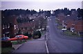
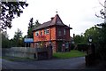
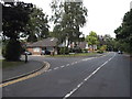
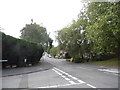
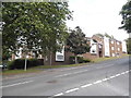
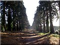
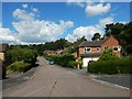
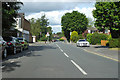
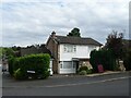
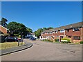
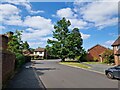
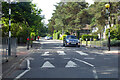
64 photos from this area
Area Information
Key information about the GU15 1QF including its size, population, and administrative classification.
- Area Type
- Postcode
- Area Size
- 1.4 hectares
- Population
- 1606
- Population Density
- 3086 people/km²
House Prices in GU15 1QF
11
Properties
£522,667
Average Sold Price
£208,500
Lowest Price
£705,000
Highest Price
Showing 11 properties
| Address | Type | Beds | Baths | Last Sale Price | Last Sale Date | |
|---|---|---|---|---|---|---|
| Hallstone, 66 The Maultway, Camberley, GU15 1QF | Detached | 5 | - | £650,000 | May 2022 | |
| Yockley Cottage, 72 The Maultway, Camberley, GU15 1QF | Detached | 4 | 2 | £685,000 | Nov 2018 | |
| Yockley Lodge, 78 The Maultway, Camberley, GU15 1QF | house | - | - | £705,000 | Apr 2010 | |
| Oak Timbers, 84 The Maultway, Camberley, GU15 1QF | Detached | - | - | £472,500 | Dec 2006 | |
| Overdean, 82 The Maultway, Camberley, GU15 1QF | house | - | - | £415,000 | Oct 2005 | |
| Oakdene, 64 The Maultway, Camberley, GU15 1QF | house | - | - | £208,500 | Jul 1998 | |
| Turramurra, 70 The Maultway, Camberley, GU15 1QF | Detached | - | - | - | - | |
| Cherry Trees, 68 The Maultway, Camberley, GU15 1QF | Detached | - | - | - | - | |
| Yockley End, 74 The Maultway, Camberley, GU15 1QF | Semi-detached | - | - | - | - | |
| Yockley House, 76 The Maultway, Camberley, GU15 1QF | Semi-detached | - | - | - | - |
Page 1 of 2
Energy Efficiency in GU15 1QF
Amenities
Schools
| Rank | School | Type | Entry gender | Ages |
|---|
Explore more schools in this area
Go to Schools tabDemographics
Household Size
Family (3-5 people)
most common
Accommodation Type
Houses
most common
Tenure
91
majority
Ethnic Group
White
most common
Religion
N/A
most common
Household Composition
N/A
most common
Age
47
median
Adults (30-64 years)
most common
Household Deprivation
N/A
with no deprivation
NS-SEC
48
in Lower managerial occupations
Explore more demographic insights in this area
Go to Demographics tabPlanning
Planning Constraints
- Flood RiskPremium
- Ramsar Wetland SitesPremium
- Area of Outstanding Natural BeautyPremium
- Protected Nature ReservePremium
- Protected WoodlandPremium