Area Overview for GU14 9SL
Photos of GU14 9SL

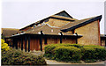
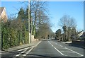
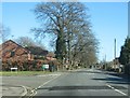
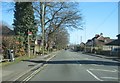
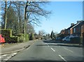
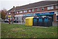
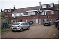
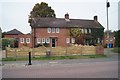
56 photos from this area
Area Information
Key information about the GU14 9SL including its size, population, and administrative classification.
- Area Type
- Postcode
- Area Size
- 2.3 hectares
- Population
- 2477
- Population Density
- 6113 people/km²
House Prices in GU14 9SL
26
Properties
£333,656
Average Sold Price
£128,000
Lowest Price
£600,000
Highest Price
Showing 26 properties
| Address | Type | Beds | Baths | Last Sale Price | Last Sale Date | |
|---|---|---|---|---|---|---|
| 169 Fleet Road, Farnborough, GU14 9SL | Detached | 5 | 3 | £600,000 | Aug 2020 | |
| 162 Fleet Road, Farnborough, GU14 9SL | Semi-detached | - | - | £420,000 | Sep 2018 | |
| 152 Fleet Road, Farnborough, GU14 9SL | Semi-detached | 5 | - | £430,000 | Oct 2015 | |
| 168 Fleet Road, Farnborough, GU14 9SL | Semi-detached | 3 | - | £335,000 | Apr 2015 | |
| 154 Fleet Road, Farnborough, GU14 9SL | house | - | - | £240,000 | Nov 2009 | |
| 151A Fleet Road, Farnborough, GU14 9SL | house | - | - | £340,000 | Nov 2009 | |
| 158 Fleet Road, Farnborough, GU14 9SL | house | - | - | £249,950 | Sep 2006 | |
| 153 Fleet Road, Farnborough, GU14 9SL | Detached | 4 | 2 | £259,950 | Sep 2002 | |
| 164 Fleet Road, Farnborough, GU14 9SL | Semi-detached | - | - | £128,000 | May 2000 | |
| The Croft, 136 Fleet Road, Farnborough, GU14 9SL | Terraced | 3 | 1 | - | - |
Page 1 of 3
Energy Efficiency in GU14 9SL
Amenities
Schools
| Rank | School | Type | Entry gender | Ages |
|---|
Explore more schools in this area
Go to Schools tabDemographics
Household Size
Family (3-5 people)
most common
Accommodation Type
Houses
most common
Tenure
68
majority
Ethnic Group
White
most common
Religion
N/A
most common
Household Composition
N/A
most common
Age
47
median
Adults (30-64 years)
most common
Household Deprivation
N/A
with no deprivation
NS-SEC
36
in Lower managerial occupations
Explore more demographic insights in this area
Go to Demographics tabPlanning
Planning Constraints
- Flood RiskPremium
- Ramsar Wetland SitesPremium
- Area of Outstanding Natural BeautyPremium
- Protected Nature ReservePremium
- Protected WoodlandPremium