Area Overview for GU14 9SA
Photos of GU14 9SA
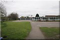
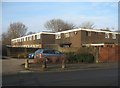
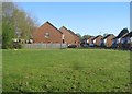
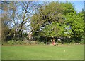
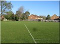
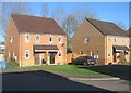
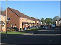
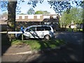
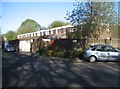
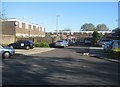
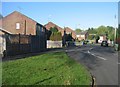
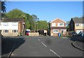
100 photos from this area
Area Information
Key information about the GU14 9SA including its size, population, and administrative classification.
- Area Type
- Postcode
- Area Size
- 2.7 hectares
- Population
- 1362
- Population Density
- 4050 people/km²
House Prices in GU14 9SA
24
Properties
£385,600
Average Sold Price
£120,000
Lowest Price
£680,000
Highest Price
Showing 24 properties
| Address | Type | Beds | Baths | Last Sale Price | Last Sale Date | |
|---|---|---|---|---|---|---|
| 41 Fernhill Road, Farnborough, GU14 9SA | Detached | 4 | 2 | £680,000 | May 2025 | |
| 71 Fernhill Road, Farnborough, GU14 9SA | Bungalow | 3 | 1 | £536,000 | Jun 2022 | |
| 77 Fernhill Road, Farnborough, GU14 9SA | Bungalow | 3 | 1 | £475,000 | Jun 2021 | |
| 51 Fernhill Road, Farnborough, GU14 9SA | house | - | - | £610,000 | Jan 2021 | |
| 55A Fernhill Road, Farnborough, GU14 9SA | Detached | 5 | 2 | £535,000 | Dec 2020 | |
| 59 Fernhill Road, Farnborough, GU14 9SA | Detached | 3 | 2 | £465,000 | Jul 2020 | |
| 43 Fernhill Road, Farnborough, GU14 9SA | Detached | 4 | - | £530,000 | Aug 2017 | |
| 73 Fernhill Road, Farnborough, GU14 9SA | Bungalow | 2 | 2 | £343,000 | Jul 2015 | |
| 69 Fernhill Road, Farnborough, GU14 9SA | Detached | 3 | 3 | £335,000 | Jun 2014 | |
| 39A Fernhill Road, Farnborough, GU14 9SA | house | - | - | £280,000 | Sep 2010 |
Page 1 of 3
Energy Efficiency in GU14 9SA
Amenities
Schools
| Rank | School | Type | Entry gender | Ages |
|---|
Explore more schools in this area
Go to Schools tabDemographics
Household Size
Family (3-5 people)
most common
Accommodation Type
Houses
most common
Tenure
87
majority
Ethnic Group
White
most common
Religion
N/A
most common
Household Composition
N/A
most common
Age
47
median
Adults (30-64 years)
most common
Household Deprivation
N/A
with no deprivation
NS-SEC
33
in Lower managerial occupations
Explore more demographic insights in this area
Go to Demographics tabPlanning
Planning Constraints
- Flood RiskPremium
- Ramsar Wetland SitesPremium
- Area of Outstanding Natural BeautyPremium
- Protected Nature ReservePremium
- Protected WoodlandPremium