Area Overview for GU14 9RG
Photos of GU14 9RG

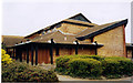
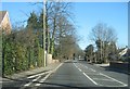
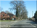
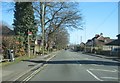
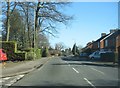
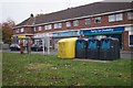
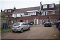
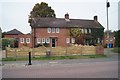
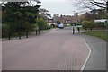
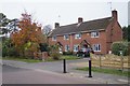
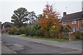
56 photos from this area
Area Information
Key information about the GU14 9RG including its size, population, and administrative classification.
- Area Type
- Postcode
- Area Size
- 1.4 hectares
- Population
- 1552
- Population Density
- 4240 people/km²
House Prices in GU14 9RG
21
Properties
£313,375
Average Sold Price
£118,000
Lowest Price
£575,000
Highest Price
Showing 21 properties
| Address | Type | Beds | Baths | Last Sale Price | Last Sale Date | |
|---|---|---|---|---|---|---|
| 110 Fleet Road, Farnborough, GU14 9RG | Detached | 5 | 2 | £575,000 | May 2021 | |
| 112 Fleet Road, Farnborough, GU14 9RG | Detached | 4 | 2 | £548,000 | Dec 2018 | |
| 98 Fleet Road, Farnborough, GU14 9RG | Bungalow | 2 | 1 | £276,000 | Aug 2015 | |
| 122 Fleet Road, Farnborough, GU14 9RG | house | 4 | - | £305,000 | May 2010 | |
| 114 Fleet Road, Farnborough, GU14 9RG | Detached | 4 | 2 | £315,000 | May 2004 | |
| 102 Fleet Road, Farnborough, GU14 9RG | Detached | - | - | £245,000 | Jun 2000 | |
| 104 Fleet Road, Farnborough, GU14 9RG | Detached | - | - | £125,000 | Nov 1996 | |
| 118 Fleet Road, Farnborough, GU14 9RG | Detached | - | - | £118,000 | Jun 1996 | |
| 120B Fleet Road, Farnborough, GU14 9RG | Detached | 4 | 2 | - | - | |
| 122B Fleet Road, Farnborough, GU14 9RG | Semi-detached | 3 | 2 | - | - |
Page 1 of 3
Energy Efficiency in GU14 9RG
Amenities
Schools
| Rank | School | Type | Entry gender | Ages |
|---|
Explore more schools in this area
Go to Schools tabDemographics
Household Size
Family (3-5 people)
most common
Accommodation Type
Houses
most common
Tenure
75
majority
Ethnic Group
White
most common
Religion
N/A
most common
Household Composition
N/A
most common
Age
47
median
Adults (30-64 years)
most common
Household Deprivation
N/A
with no deprivation
NS-SEC
38
in Lower managerial occupations
Explore more demographic insights in this area
Go to Demographics tabPlanning
Planning Constraints
- Flood RiskPremium
- Ramsar Wetland SitesPremium
- Area of Outstanding Natural BeautyPremium
- Protected Nature ReservePremium
- Protected WoodlandPremium