Area Overview for GU14 9ED
Photos of GU14 9ED
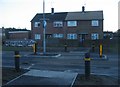

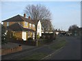
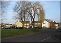
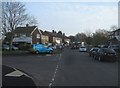
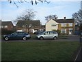
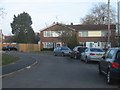
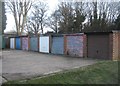
100 photos from this area
Area Information
Key information about the GU14 9ED including its size, population, and administrative classification.
- Area Type
- Postcode
- Area Size
- 5162 m²
- Population
- 1377
- Population Density
- 4927 people/km²
House Prices in GU14 9ED
16
Properties
£267,818
Average Sold Price
£70,000
Lowest Price
£365,000
Highest Price
Showing 16 properties
| Address | Type | Beds | Baths | Last Sale Price | Last Sale Date | |
|---|---|---|---|---|---|---|
| 192 Fernhill Road, Farnborough, GU14 9ED | Terraced | 3 | 1 | £330,000 | Oct 2023 | |
| 188 Fernhill Road, Farnborough, GU14 9ED | Terraced | 3 | 1 | £325,000 | Aug 2023 | |
| 204 Fernhill Road, Farnborough, GU14 9ED | Terraced | 3 | 1 | £365,000 | Apr 2023 | |
| 194 Fernhill Road, Farnborough, GU14 9ED | Retail | 3 | 1 | £343,000 | Apr 2022 | |
| 208 Fernhill Road, Farnborough, GU14 9ED | house | - | - | £332,000 | Feb 2022 | |
| 206 Fernhill Road, Farnborough, GU14 9ED | house | 3 | - | £327,500 | Oct 2021 | |
| 180 Fernhill Road, Farnborough, GU14 9ED | Terraced | - | - | £319,000 | Feb 2020 | |
| 200 Fernhill Road, Farnborough, GU14 9ED | Terraced | 3 | - | £314,000 | Oct 2016 | |
| 210 Fernhill Road, Farnborough, GU14 9ED | Semi-detached | 3 | 1 | £308,000 | Aug 2016 | |
| 202 Fernhill Road, Farnborough, GU14 9ED | Terraced | 3 | - | £313,000 | Mar 2016 |
Page 1 of 2
Energy Efficiency in GU14 9ED
Amenities
Schools
| Rank | School | Type | Entry gender | Ages |
|---|
Explore more schools in this area
Go to Schools tabDemographics
Household Size
Family (3-5 people)
most common
Accommodation Type
Houses
most common
Tenure
58
majority
Ethnic Group
White
most common
Religion
N/A
most common
Household Composition
N/A
most common
Age
47
median
Adults (30-64 years)
most common
Household Deprivation
N/A
with no deprivation
NS-SEC
25
in Lower managerial occupations
Explore more demographic insights in this area
Go to Demographics tabPlanning
Planning Constraints
- Flood RiskPremium
- Ramsar Wetland SitesPremium
- Area of Outstanding Natural BeautyPremium
- Protected Nature ReservePremium
- Protected WoodlandPremium