Area Overview for GU14 8QG
Photos of GU14 8QG
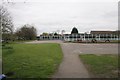
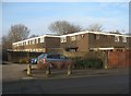
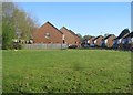
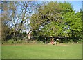
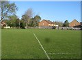
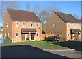
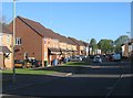
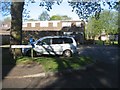
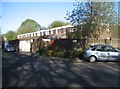
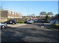
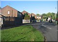
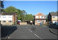
100 photos from this area
Area Information
Key information about the GU14 8QG including its size, population, and administrative classification.
- Area Type
- Postcode
- Area Size
- 1.0 hectares
- Population
- 1377
- Population Density
- 4927 people/km²
House Prices in GU14 8QG
22
Properties
£202,192
Average Sold Price
£61,000
Lowest Price
£300,000
Highest Price
Showing 22 properties
| Address | Type | Beds | Baths | Last Sale Price | Last Sale Date | |
|---|---|---|---|---|---|---|
| 46 Houseman Road, Farnborough, GU14 8QG | Terraced | 2 | 1 | £275,000 | Mar 2025 | |
| 49 Houseman Road, Farnborough, GU14 8QG | Terraced | 2 | 1 | £300,000 | Sep 2024 | |
| 47 Houseman Road, Farnborough, GU14 8QG | Terraced | 2 | - | £260,000 | Jun 2024 | |
| 54 Houseman Road, Farnborough, GU14 8QG | Terraced | 2 | 1 | £265,000 | Jul 2023 | |
| 42 Houseman Road, Farnborough, GU14 8QG | Terraced | 2 | - | £255,000 | Mar 2022 | |
| 44 Houseman Road, Farnborough, GU14 8QG | Terraced | 2 | 1 | £240,000 | Aug 2020 | |
| 51 Houseman Road, Farnborough, GU14 8QG | Terraced | 2 | 1 | £242,500 | Aug 2018 | |
| 43 Houseman Road, Farnborough, GU14 8QG | Terraced | 2 | 1 | £220,000 | Mar 2016 | |
| 60 Houseman Road, Farnborough, GU14 8QG | Terraced | 3 | 1 | £135,000 | Nov 2013 | |
| 62 Houseman Road, Farnborough, GU14 8QG | Terraced | 2 | 1 | £122,500 | Apr 2012 |
Page 1 of 3
Energy Efficiency in GU14 8QG
Amenities
Schools
| Rank | School | Type | Entry gender | Ages |
|---|
Explore more schools in this area
Go to Schools tabDemographics
Household Size
Family (3-5 people)
most common
Accommodation Type
Houses
most common
Tenure
58
majority
Ethnic Group
White
most common
Religion
N/A
most common
Household Composition
N/A
most common
Age
47
median
Adults (30-64 years)
most common
Household Deprivation
N/A
with no deprivation
NS-SEC
25
in Lower managerial occupations
Explore more demographic insights in this area
Go to Demographics tabPlanning
Planning Constraints
- Flood RiskPremium
- Ramsar Wetland SitesPremium
- Area of Outstanding Natural BeautyPremium
- Protected Nature ReservePremium
- Protected WoodlandPremium