Area Overview for GU14 8PA
Photos of GU14 8PA
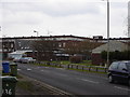
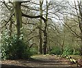
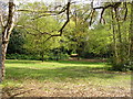
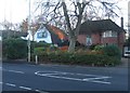
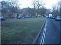
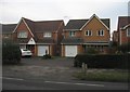

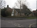
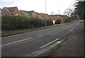
100 photos from this area
Area Information
Key information about the GU14 8PA including its size, population, and administrative classification.
- Area Type
- Postcode
- Area Size
- 5.7 hectares
- Population
- 1532
- Population Density
- 2595 people/km²
House Prices in GU14 8PA
43
Properties
£478,014
Average Sold Price
£250,000
Lowest Price
£1,430,000
Highest Price
Showing 43 properties
| Address | Type | Beds | Baths | Last Sale Price | Last Sale Date | |
|---|---|---|---|---|---|---|
| 88 Pierrefondes Avenue, Farnborough, GU14 8PA | Semi-detached | 3 | 1 | £400,000 | Jan 2023 | |
| Afton, 43 Pierrefondes Avenue, Farnborough, GU14 8PA | house | 4 | - | £1,430,000 | Oct 2022 | |
| 76 Pierrefondes Avenue, Farnborough, GU14 8PA | Detached | 3 | 1 | £620,000 | Apr 2022 | |
| 39 Pierrefondes Avenue, Farnborough, GU14 8PA | house | - | - | £840,000 | Mar 2021 | |
| 63 Pierrefondes Avenue, Farnborough, GU14 8PA | Semi-detached | 3 | 1 | £326,500 | Sep 2019 | |
| 84 Pierrefondes Avenue, Farnborough, GU14 8PA | house | - | - | £395,000 | Sep 2019 | |
| 78 Pierrefondes Avenue, Farnborough, GU14 8PA | house | - | - | £375,000 | Feb 2019 | |
| 51 Pierrefondes Avenue, Farnborough, GU14 8PA | Detached | 3 | 1 | £505,000 | Nov 2017 | |
| 29 Pierrefondes Avenue, Farnborough, GU14 8PA | Detached | 3 | 1 | £475,000 | Sep 2017 | |
| Nutwood, 37 Pierrefondes Avenue, Farnborough, GU14 8PA | house | - | - | £650,000 | Aug 2017 |
Page 1 of 5
Energy Efficiency in GU14 8PA
Amenities
Schools
| Rank | School | Type | Entry gender | Ages |
|---|
Explore more schools in this area
Go to Schools tabDemographics
Household Size
Two person
most common
Accommodation Type
Houses
most common
Tenure
78
majority
Ethnic Group
White
most common
Religion
N/A
most common
Household Composition
N/A
most common
Age
47
median
Adults (30-64 years)
most common
Household Deprivation
N/A
with no deprivation
NS-SEC
49
in Lower managerial occupations
Explore more demographic insights in this area
Go to Demographics tabPlanning
Planning Constraints
- Flood RiskPremium
- Ramsar Wetland SitesPremium
- Area of Outstanding Natural BeautyPremium
- Protected Nature ReservePremium
- Protected WoodlandPremium