Area Overview for GU14 8JD
Photos of GU14 8JD
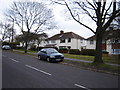

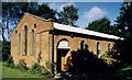
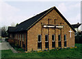
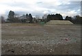
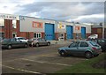

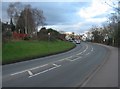

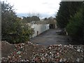
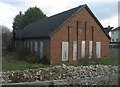
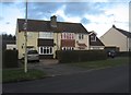
100 photos from this area
Area Information
Key information about the GU14 8JD including its size, population, and administrative classification.
- Area Type
- Postcode
- Area Size
- 5715 m²
- Population
- 1612
- Population Density
- 6302 people/km²
House Prices in GU14 8JD
11
Properties
£181,786
Average Sold Price
£68,500
Lowest Price
£320,000
Highest Price
Showing 11 properties
| Address | Type | Beds | Baths | Last Sale Price | Last Sale Date | |
|---|---|---|---|---|---|---|
| 51 Hawley Lane, Farnborough, GU14 8JD | Semi-detached | 3 | - | £320,000 | Jan 2019 | |
| 45 Hawley Lane, Farnborough, GU14 8JD | house | - | - | £231,000 | Dec 2012 | |
| 47 Hawley Lane, Farnborough, GU14 8JD | house | - | - | £210,000 | Apr 2010 | |
| 39 Hawley Lane, Farnborough, GU14 8JD | Semi-detached | - | - | £212,000 | Jun 2008 | |
| 43 Hawley Lane, Farnborough, GU14 8JD | Semi-detached | - | - | £156,000 | Sep 2002 | |
| 49 Hawley Lane, Farnborough, GU14 8JD | Semi-detached | 3 | 1 | £68,500 | Jul 1995 | |
| 33A Hawley Lane, Farnborough, GU14 8JD | Detached | - | - | £75,000 | Feb 1995 | |
| North Lodge, 33 Hawley Lane, Farnborough, GU14 8JD | Detached | - | - | - | - | |
| 35 Hawley Lane, Farnborough, GU14 8JD | Detached | - | - | - | - | |
| 37 Hawley Lane, Farnborough, GU14 8JD | house | - | - | - | - |
Page 1 of 2
Energy Efficiency in GU14 8JD
Amenities
Schools
| Rank | School | Type | Entry gender | Ages |
|---|
Explore more schools in this area
Go to Schools tabDemographics
Household Size
Family (3-5 people)
most common
Accommodation Type
Houses
most common
Tenure
45
majority
Ethnic Group
White
most common
Religion
N/A
most common
Household Composition
N/A
most common
Age
47
median
Adults (30-64 years)
most common
Household Deprivation
N/A
with no deprivation
NS-SEC
23
in Lower managerial occupations
Explore more demographic insights in this area
Go to Demographics tabPlanning
Planning Constraints
- Flood RiskPremium
- Ramsar Wetland SitesPremium
- Area of Outstanding Natural BeautyPremium
- Protected Nature ReservePremium
- Protected WoodlandPremium