Area Overview for GU14 8BJ
Photos of GU14 8BJ
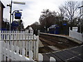
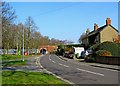
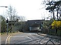
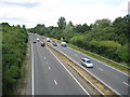
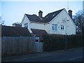
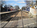
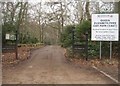
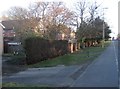
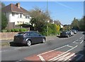
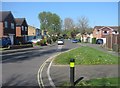
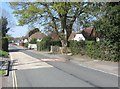
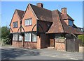
100 photos from this area
Area Information
Key information about the GU14 8BJ including its size, population, and administrative classification.
- Area Type
- Postcode
- Area Size
- 2.1 hectares
- Population
- 1568
- Population Density
- 1596 people/km²
House Prices in GU14 8BJ
25
Properties
£411,689
Average Sold Price
£80,000
Lowest Price
£720,000
Highest Price
Showing 25 properties
| Address | Type | Beds | Baths | Last Sale Price | Last Sale Date | |
|---|---|---|---|---|---|---|
| 134 Ship Lane, Farnborough, GU14 8BJ | Detached | 4 | 2 | £690,000 | Sep 2025 | |
| 138 Ship Lane, Farnborough, GU14 8BJ | Detached | 4 | 2 | £720,000 | Sep 2025 | |
| 133 Ship Lane, Farnborough, GU14 8BJ | Semi-detached | 3 | 2 | £455,000 | Jan 2023 | |
| 142 Ship Lane, Farnborough, GU14 8BJ | Detached | 3 | 2 | £645,000 | Oct 2022 | |
| 126 Ship Lane, Farnborough, GU14 8BJ | Semi-detached | 3 | 1 | £365,000 | Aug 2020 | |
| 150 Ship Lane, Farnborough, GU14 8BJ | Detached | 4 | 2 | £420,000 | Aug 2018 | |
| 148 Ship Lane, Farnborough, GU14 8BJ | Detached | 3 | 3 | £365,000 | Mar 2018 | |
| 120 Ship Lane, Farnborough, GU14 8BJ | Semi-detached | 3 | 1 | £355,000 | Jan 2018 | |
| 130 Ship Lane, Farnborough, GU14 8BJ | Semi-detached | - | - | £350,000 | Aug 2015 | |
| 144 Ship Lane, Farnborough, GU14 8BJ | Detached | 4 | 3 | £640,000 | Nov 2014 |
Page 1 of 3
Energy Efficiency in GU14 8BJ
Amenities
Schools
| Rank | School | Type | Entry gender | Ages |
|---|
Explore more schools in this area
Go to Schools tabDemographics
Household Size
Two person
most common
Accommodation Type
Houses
most common
Tenure
83
majority
Ethnic Group
White
most common
Religion
N/A
most common
Household Composition
N/A
most common
Age
47
median
Adults (30-64 years)
most common
Household Deprivation
N/A
with no deprivation
NS-SEC
44
in Lower managerial occupations
Explore more demographic insights in this area
Go to Demographics tabPlanning
Planning Constraints
- Flood RiskPremium
- Ramsar Wetland SitesPremium
- Area of Outstanding Natural BeautyPremium
- Protected Nature ReservePremium
- Protected WoodlandPremium