Area Overview for GU14 8AX
Photos of GU14 8AX
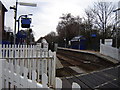
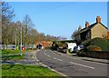
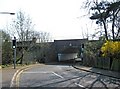
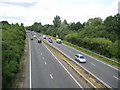
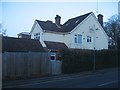

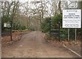
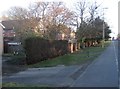
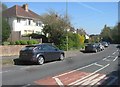
100 photos from this area
Area Information
Key information about the GU14 8AX including its size, population, and administrative classification.
- Area Type
- Postcode
- Area Size
- 4575 m²
- Population
- 1532
- Population Density
- 2595 people/km²
House Prices in GU14 8AX
7
Properties
£435,600
Average Sold Price
£236,000
Lowest Price
£570,000
Highest Price
Showing 7 properties
| Address | Type | Beds | Baths | Last Sale Price | Last Sale Date | |
|---|---|---|---|---|---|---|
| 293 Farnborough Road, Farnborough, GU14 8AX | Detached | 5 | 1 | £543,000 | Apr 2020 | |
| 297 Farnborough Road, Farnborough, GU14 8AX | Detached | 4 | 2 | £570,000 | Oct 2017 | |
| 301 Farnborough Road, Farnborough, GU14 8AX | house | - | - | £509,000 | Sep 2016 | |
| 295 Farnborough Road, Farnborough, GU14 8AX | Detached | 4 | 1 | £320,000 | Apr 2006 | |
| 305 Farnborough Road, Farnborough, GU14 8AX | Detached | - | - | £236,000 | Feb 2001 | |
| Tennis 82M From 299 Farnborough Road 53M From A325, Farnborough Road, Farnborough, GU14 8AX | Leisure | - | - | - | - | |
| 299 Farnborough Road, Farnborough, GU14 8AX | Detached | - | - | - | - |
Energy Efficiency in GU14 8AX
Amenities
Schools
| Rank | School | Type | Entry gender | Ages |
|---|
Explore more schools in this area
Go to Schools tabDemographics
Household Size
Two person
most common
Accommodation Type
Houses
most common
Tenure
78
majority
Ethnic Group
White
most common
Religion
N/A
most common
Household Composition
N/A
most common
Age
47
median
Adults (30-64 years)
most common
Household Deprivation
N/A
with no deprivation
NS-SEC
49
in Lower managerial occupations
Explore more demographic insights in this area
Go to Demographics tabPlanning
Planning Constraints
- Flood RiskPremium
- Ramsar Wetland SitesPremium
- Area of Outstanding Natural BeautyPremium
- Protected Nature ReservePremium
- Protected WoodlandPremium