Area Overview for GU14 6FD
Photos of GU14 6FD
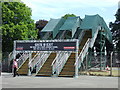
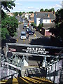
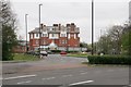


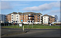
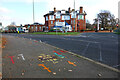
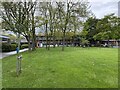
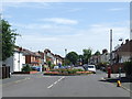
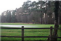
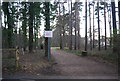
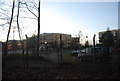
45 photos from this area
Area Information
Key information about the GU14 6FD including its size, population, and administrative classification.
- Area Type
- Postcode
- Area Size
- 24.5 hectares
- Population
- 2776
- Population Density
- 391 people/km²
House Prices in GU14 6FD
11
Properties
£262,650
Average Sold Price
£245,500
Lowest Price
£300,500
Highest Price
Showing 11 properties
| Address | Type | Beds | Baths | Last Sale Price | Last Sale Date | |
|---|---|---|---|---|---|---|
| 3 Etps Road, Farnborough, GU14 6FD | Terraced | 3 | 2 | £300,500 | Dec 2020 | |
| 7 Etps Road, Farnborough, GU14 6FD | Terraced | 3 | - | £285,000 | Apr 2015 | |
| 1 Etps Road, Farnborough, GU14 6FD | house | - | - | £249,950 | Aug 2013 | |
| 4 Etps Road, Farnborough, GU14 6FD | house | - | - | £249,000 | Jul 2013 | |
| 2 Etps Road, Farnborough, GU14 6FD | Terraced | 3 | 2 | £245,950 | Jun 2013 | |
| 6 Etps Road, Farnborough, GU14 6FD | house | - | - | £245,500 | Jun 2013 | |
| Hall 5, Farnborough International Exhibition And Conference Centre, Etps Road, Farnborough, GU14 6FD | Leisure | - | - | - | - | |
| Show Centre, Farnborough International Exhibition And Conference Centre, Etps Road, Farnborough, GU14 6FD | office_workshop | - | - | - | - | |
| Farnborough International Ltd, Hall 1, Farnborough International Exhibition And Conference Centre, Etps Road, Farnborough, GU14 6FD | library_museum_gallery | - | - | - | - | |
| Farnborough International Ltd, Farnborough International Exhibition And Conference Centre, Etps Road, Farnborough, GU14 6FD | commercial | - | - | - | - |
Page 1 of 2
Energy Efficiency in GU14 6FD
Amenities
Schools
| Rank | School | Type | Entry gender | Ages |
|---|
Explore more schools in this area
Go to Schools tabDemographics
Household Size
Family (3-5 people)
most common
Accommodation Type
Houses
most common
Tenure
57
majority
Ethnic Group
White
most common
Religion
N/A
most common
Household Composition
N/A
most common
Age
47
median
Adults (30-64 years)
most common
Household Deprivation
N/A
with no deprivation
NS-SEC
43
in Lower managerial occupations
Explore more demographic insights in this area
Go to Demographics tabPlanning
Planning Constraints
- Flood RiskPremium
- Ramsar Wetland SitesPremium
- Area of Outstanding Natural BeautyPremium
- Protected Nature ReservePremium
- Protected WoodlandPremium