Area Overview for GU14 0HF
Photos of GU14 0HF
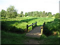
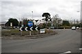
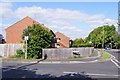
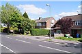
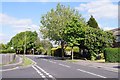
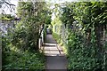
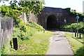
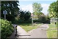
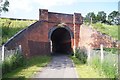
68 photos from this area
Area Information
Key information about the GU14 0HF including its size, population, and administrative classification.
- Area Type
- Postcode
- Area Size
- 8101 m²
- Population
- 1326
- Population Density
- 3336 people/km²
House Prices in GU14 0HF
16
Properties
£299,540
Average Sold Price
£140,000
Lowest Price
£438,325
Highest Price
Showing 16 properties
| Address | Type | Beds | Baths | Last Sale Price | Last Sale Date | |
|---|---|---|---|---|---|---|
| 107A Cove Road, Farnborough, GU14 0HF | Semi-detached | 6 | 3 | £435,000 | Dec 2024 | |
| 117 Cove Road, Farnborough, GU14 0HF | Terraced | 3 | 1 | £355,000 | Dec 2023 | |
| 103 Cove Road, Farnborough, GU14 0HF | house | 3 | - | £390,000 | Sep 2021 | |
| 107 Cove Road, Farnborough, GU14 0HF | Semi-detached | 3 | - | £438,325 | Jun 2021 | |
| 99D Cove Road, Farnborough, GU14 0HF | Maisonette | 2 | 1 | £259,700 | Jan 2021 | |
| 119 Cove Road, Farnborough, GU14 0HF | Terraced | 3 | 1 | £276,000 | Oct 2019 | |
| 99C Cove Road, Farnborough, GU14 0HF | Maisonette | 3 | 2 | £220,000 | Dec 2018 | |
| 115 Cove Road, Farnborough, GU14 0HF | Semi-detached | 3 | 1 | £310,000 | Oct 2018 | |
| 99A Cove Road, Farnborough, GU14 0HF | Flat | 2 | 1 | £225,000 | Aug 2018 | |
| 105 Cove Road, Farnborough, GU14 0HF | Semi-detached | 3 | 1 | £320,000 | Nov 2017 |
Page 1 of 2
Energy Efficiency in GU14 0HF
Amenities
Schools
| Rank | School | Type | Entry gender | Ages |
|---|
Explore more schools in this area
Go to Schools tabDemographics
Household Size
Two person
most common
Accommodation Type
Houses
most common
Tenure
83
majority
Ethnic Group
White
most common
Religion
N/A
most common
Household Composition
N/A
most common
Age
47
median
Adults (30-64 years)
most common
Household Deprivation
N/A
with no deprivation
NS-SEC
38
in Lower managerial occupations
Explore more demographic insights in this area
Go to Demographics tabPlanning
Planning Constraints
- Flood RiskPremium
- Ramsar Wetland SitesPremium
- Area of Outstanding Natural BeautyPremium
- Protected Nature ReservePremium
- Protected WoodlandPremium