Area Overview for GU12 6NU
Photos of GU12 6NU

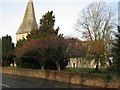
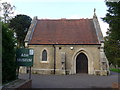
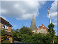
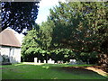
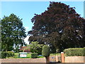
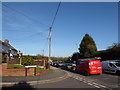
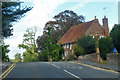
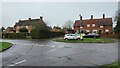
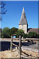
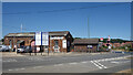
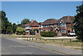
66 photos from this area
Area Information
Key information about the GU12 6NU including its size, population, and administrative classification.
- Area Type
- Postcode
- Area Size
- 1.9 hectares
- Population
- 1746
- Population Density
- 1107 people/km²
House Prices in GU12 6NU
60
Properties
£259,788
Average Sold Price
£73,500
Lowest Price
£525,000
Highest Price
Showing 60 properties
| Address | Type | Beds | Baths | Last Sale Price | Last Sale Date | |
|---|---|---|---|---|---|---|
| 5 Parish Close, Ash, GU12 6NU | Terraced | 2 | 1 | £325,000 | Aug 2025 | |
| 17 Parish Close, Ash, GU12 6NU | Semi-detached | 3 | 1 | £415,000 | Jul 2025 | |
| 52 Parish Close, Ash, GU12 6NU | Detached | 3 | 2 | £435,000 | Jun 2025 | |
| 16 Parish Close, Ash, GU12 6NU | Detached | 3 | 2 | £435,000 | Mar 2025 | |
| 43 Parish Close, Ash, GU12 6NU | Semi-detached | 2 | 2 | £365,000 | Feb 2025 | |
| 14 Parish Close, Ash, GU12 6NU | Semi-detached | 2 | 1 | £382,000 | Dec 2024 | |
| 38 Parish Close, Ash, GU12 6NU | Semi-detached | 2 | 2 | £390,000 | Jul 2024 | |
| 12 Parish Close, Ash, GU12 6NU | Semi-detached | 2 | - | £347,000 | Oct 2023 | |
| 25 Parish Close, Ash, GU12 6NU | Detached | 3 | 2 | £450,000 | Aug 2023 | |
| 40 Parish Close, Ash, GU12 6NU | Semi-detached | 2 | 1 | £355,000 | Oct 2022 |
Page 1 of 6
Energy Efficiency in GU12 6NU
Amenities
Schools
| Rank | School | Type | Entry gender | Ages |
|---|
Explore more schools in this area
Go to Schools tabDemographics
Household Size
Two person
most common
Accommodation Type
Houses
most common
Tenure
90
majority
Ethnic Group
White
most common
Religion
N/A
most common
Household Composition
N/A
most common
Age
47
median
Adults (30-64 years)
most common
Household Deprivation
N/A
with no deprivation
NS-SEC
47
in Lower managerial occupations
Explore more demographic insights in this area
Go to Demographics tabPlanning
Planning Constraints
- Flood RiskPremium
- Ramsar Wetland SitesPremium
- Area of Outstanding Natural BeautyPremium
- Protected Nature ReservePremium
- Protected WoodlandPremium