Area Overview for GU12 6EA
Photos of GU12 6EA
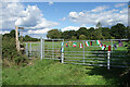
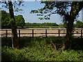
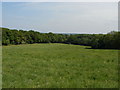
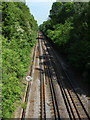
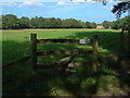
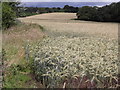
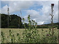
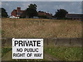
28 photos from this area
Area Information
Key information about the GU12 6EA including its size, population, and administrative classification.
- Area Type
- Postcode
- Area Size
- 10.3 hectares
- Population
- 1496
- Population Density
- 264 people/km²
House Prices in GU12 6EA
39
Properties
£255,533
Average Sold Price
£130,000
Lowest Price
£360,000
Highest Price
Showing 39 properties
| Address | Type | Beds | Baths | Last Sale Price | Last Sale Date | |
|---|---|---|---|---|---|---|
| 70 Wyke Avenue, Ash, GU12 6EA | Semi-detached | 3 | 1 | £345,000 | Feb 2024 | |
| 45 Wyke Avenue, Ash, GU12 6EA | house | - | - | £355,500 | Jun 2022 | |
| 39 Wyke Avenue, Ash, GU12 6EA | house | - | - | £360,000 | Mar 2021 | |
| 40 Wyke Avenue, Ash, GU12 6EA | Semi-detached | 3 | - | £305,000 | Feb 2017 | |
| 61 Wyke Avenue, Ash, GU12 6EA | house | - | - | £250,000 | Sep 2015 | |
| 50 Wyke Avenue, Ash, GU12 6EA | Semi-detached | 3 | - | £278,000 | Apr 2015 | |
| 56 Wyke Avenue, Ash, GU12 6EA | house | - | - | £200,000 | Sep 2009 | |
| 63 Wyke Avenue, Ash, GU12 6EA | Detached | 3 | 2 | £210,000 | Jul 2008 | |
| 52 Wyke Avenue, Ash, GU12 6EA | house | - | - | £242,950 | Jun 2007 | |
| 44 Wyke Avenue, Ash, GU12 6EA | Semi-detached | - | - | £220,000 | Mar 2006 |
Page 1 of 4
Energy Efficiency in GU12 6EA
Amenities
Schools
| Rank | School | Type | Entry gender | Ages |
|---|
Explore more schools in this area
Go to Schools tabDemographics
Household Size
Two person
most common
Accommodation Type
Houses
most common
Tenure
77
majority
Ethnic Group
White
most common
Religion
N/A
most common
Household Composition
N/A
most common
Age
47
median
Adults (30-64 years)
most common
Household Deprivation
N/A
with no deprivation
NS-SEC
40
in Lower managerial occupations
Explore more demographic insights in this area
Go to Demographics tabPlanning
Planning Constraints
- Flood RiskPremium
- Ramsar Wetland SitesPremium
- Area of Outstanding Natural BeautyPremium
- Protected Nature ReservePremium
- Protected WoodlandPremium