Area Overview for GU12 6DF
Photos of GU12 6DF
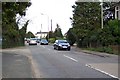
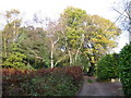
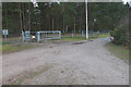
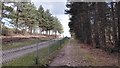
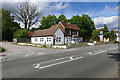
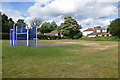
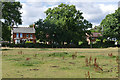
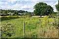
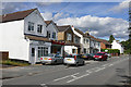
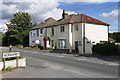
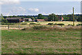
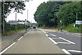
41 photos from this area
Area Information
Key information about the GU12 6DF including its size, population, and administrative classification.
- Area Type
- Postcode
- Area Size
- 5128 m²
- Population
- 1496
- Population Density
- 264 people/km²
House Prices in GU12 6DF
14
Properties
£225,234
Average Sold Price
£70,000
Lowest Price
£425,000
Highest Price
Showing 14 properties
| Address | Type | Beds | Baths | Last Sale Price | Last Sale Date | |
|---|---|---|---|---|---|---|
| 149 Guildford Road, Ash, GU12 6DF | Semi-detached | 3 | 2 | £425,000 | Feb 2025 | |
| 157 Guildford Road, Ash, GU12 6DF | Cottage | 2 | - | £300,000 | Jan 2017 | |
| 153 Guildford Road, Ash, GU12 6DF | Terraced | 3 | - | £341,606 | Aug 2016 | |
| 159 Guildford Road, Ash, GU12 6DF | Terraced | 3 | 1 | £221,500 | Jul 2014 | |
| 151 Guildford Road, Ash, GU12 6DF | Semi-detached | - | - | £227,000 | Jul 2006 | |
| 163 Guildford Road, Ash, GU12 6DF | Detached | - | - | £166,000 | Jul 1999 | |
| 155 Guildford Road, Ash, GU12 6DF | Terraced | 2 | 1 | £70,000 | Jul 1998 | |
| 165 Guildford Road, Ash, GU12 6DF | Detached | 4 | 2 | £161,000 | Jul 1998 | |
| 141 Guildford Road, Ash, GU12 6DF | Maisonette | - | - | £115,000 | Feb 1996 | |
| Flat, 145 Guildford Road, Ash, GU12 6DF | Maisonette | - | - | - | - |
Page 1 of 2
Energy Efficiency in GU12 6DF
Amenities
Schools
| Rank | School | Type | Entry gender | Ages |
|---|
Explore more schools in this area
Go to Schools tabDemographics
Household Size
Two person
most common
Accommodation Type
Houses
most common
Tenure
77
majority
Ethnic Group
White
most common
Religion
N/A
most common
Household Composition
N/A
most common
Age
47
median
Adults (30-64 years)
most common
Household Deprivation
N/A
with no deprivation
NS-SEC
40
in Lower managerial occupations
Explore more demographic insights in this area
Go to Demographics tabPlanning
Planning Constraints
- Flood RiskPremium
- Ramsar Wetland SitesPremium
- Area of Outstanding Natural BeautyPremium
- Protected Nature ReservePremium
- Protected WoodlandPremium