Area Overview for GU12 5ST
Photos of GU12 5ST
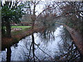
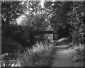
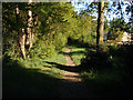
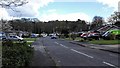
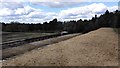
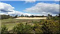
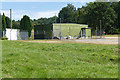
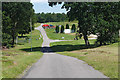
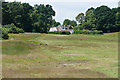
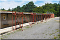
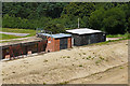
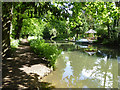
61 photos from this area
Area Information
Key information about the GU12 5ST including its size, population, and administrative classification.
- Area Type
- Postcode
- Area Size
- 2.1 hectares
- Population
- 1532
- Population Density
- 2067 people/km²
House Prices in GU12 5ST
58
Properties
£273,844
Average Sold Price
£125,995
Lowest Price
£440,000
Highest Price
Showing 58 properties
| Address | Type | Beds | Baths | Last Sale Price | Last Sale Date | |
|---|---|---|---|---|---|---|
| 16 Lancaster Close, Ash Vale, GU12 5ST | Terraced | 2 | 2 | £350,000 | Jan 2024 | |
| 18 Lancaster Close, Ash Vale, GU12 5ST | Terraced | 2 | 2 | £340,000 | Aug 2022 | |
| 11 Lancaster Close, Ash Vale, GU12 5ST | Detached | 3 | 2 | £400,000 | Feb 2021 | |
| 7 Lancaster Close, Ash Vale, GU12 5ST | Detached | 4 | 2 | £440,000 | Jun 2020 | |
| 20 Lancaster Close, Ash Vale, GU12 5ST | Terraced | 2 | 2 | £300,000 | Apr 2018 | |
| 15 Lancaster Close, Ash Vale, GU12 5ST | Detached | 4 | - | £375,000 | Jan 2017 | |
| 10 Lancaster Close, Ash Vale, GU12 5ST | Semi-detached | 3 | 2 | £275,000 | Aug 2014 | |
| 2 Lancaster Close, Ash Vale, GU12 5ST | Semi-detached | 2 | - | £214,950 | Sep 2013 | |
| 8 Lancaster Close, Ash Vale, GU12 5ST | house | - | - | £265,000 | Aug 2013 | |
| 9 Lancaster Close, Ash Vale, GU12 5ST | Detached | 4 | - | £312,500 | Aug 2013 |
Page 1 of 6
Energy Efficiency in GU12 5ST
Amenities
Schools
| Rank | School | Type | Entry gender | Ages |
|---|
Explore more schools in this area
Go to Schools tabDemographics
Household Size
Family (3-5 people)
most common
Accommodation Type
Houses
most common
Tenure
66
majority
Ethnic Group
White
most common
Religion
N/A
most common
Household Composition
N/A
most common
Age
47
median
Adults (30-64 years)
most common
Household Deprivation
N/A
with no deprivation
NS-SEC
40
in Lower managerial occupations
Explore more demographic insights in this area
Go to Demographics tabPlanning
Planning Constraints
- Flood RiskPremium
- Ramsar Wetland SitesPremium
- Area of Outstanding Natural BeautyPremium
- Protected Nature ReservePremium
- Protected WoodlandPremium