Area Overview for GU12 5EY
Photos of GU12 5EY
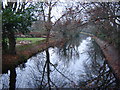
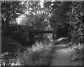
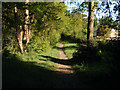
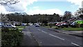
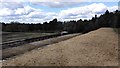
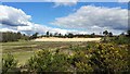
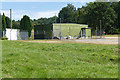
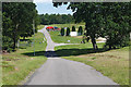
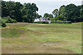
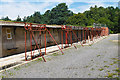
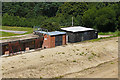
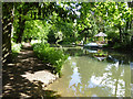
61 photos from this area
Area Information
Key information about the GU12 5EY including its size, population, and administrative classification.
- Area Type
- Postcode
- Area Size
- 2.0 hectares
- Population
- 1430
- Population Density
- 886 people/km²
House Prices in GU12 5EY
16
Properties
£397,317
Average Sold Price
£90,350
Lowest Price
£800,000
Highest Price
Showing 16 properties
| Address | Type | Beds | Baths | Last Sale Price | Last Sale Date | |
|---|---|---|---|---|---|---|
| Trees, 31 Hutton Road, Ash Vale, GU12 5EY | Bungalow | 2 | 2 | £800,000 | Jan 2022 | |
| Four Winds, 23 Hutton Road, Ash Vale, GU12 5EY | Detached | 5 | 3 | £710,000 | Mar 2021 | |
| Woodside, 29 Hutton Road, Ash Vale, GU12 5EY | Detached | 4 | - | £440,000 | Oct 2016 | |
| Heathlands, 5 Hutton Road, Ash Vale, GU12 5EY | Bungalow | 3 | - | £370,000 | May 2013 | |
| Querius, 17 Hutton Road, Ash Vale, GU12 5EY | house | - | - | £375,000 | Apr 2006 | |
| Tanglewood, 27 Hutton Road, Ash Vale, GU12 5EY | Detached | - | - | £292,500 | Jul 2004 | |
| Wind I Willows, 25 Hutton Road, Ash Vale, GU12 5EY | house | - | - | £273,000 | Aug 2002 | |
| Keffolds, 9 Hutton Road, Ash Vale, GU12 5EY | Detached | - | - | £225,000 | Jul 2000 | |
| 3 Hutton Road, Ash Vale, GU12 5EY | Detached | 4 | 1 | £90,350 | Sep 1996 | |
| Odd Bod Cottage, 7 Hutton Road, Ash Vale, GU12 5EY | Detached | 3 | 1 | - | - |
Page 1 of 2
Energy Efficiency in GU12 5EY
Amenities
Schools
| Rank | School | Type | Entry gender | Ages |
|---|
Explore more schools in this area
Go to Schools tabDemographics
Household Size
Two person
most common
Accommodation Type
Houses
most common
Tenure
86
majority
Ethnic Group
White
most common
Religion
N/A
most common
Household Composition
N/A
most common
Age
47
median
Adults (30-64 years)
most common
Household Deprivation
N/A
with no deprivation
NS-SEC
47
in Lower managerial occupations
Explore more demographic insights in this area
Go to Demographics tabPlanning
Planning Constraints
- Flood RiskPremium
- Ramsar Wetland SitesPremium
- Area of Outstanding Natural BeautyPremium
- Protected Nature ReservePremium
- Protected WoodlandPremium