Area Overview for GU11 3DA
Photos of GU11 3DA
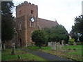
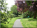
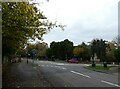
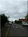
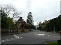
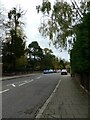
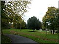
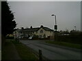
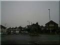
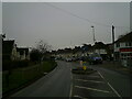
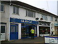
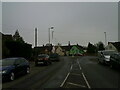
94 photos from this area
Area Information
Key information about the GU11 3DA including its size, population, and administrative classification.
- Area Type
- Postcode
- Area Size
- 2.6 hectares
- Population
- 1769
- Population Density
- 4479 people/km²
House Prices in GU11 3DA
41
Properties
£386,702
Average Sold Price
£105,250
Lowest Price
£700,000
Highest Price
Showing 41 properties
| Address | Type | Beds | Baths | Last Sale Price | Last Sale Date | |
|---|---|---|---|---|---|---|
| 44 Highfield Avenue, Aldershot, GU11 3DA | Detached | 4 | 1 | £700,000 | Jan 2024 | |
| 62 Highfield Avenue, Aldershot, GU11 3DA | Semi-detached | 3 | 1 | £560,000 | Mar 2023 | |
| 70 Highfield Avenue, Aldershot, GU11 3DA | Retail | 3 | 1 | £525,000 | Sep 2022 | |
| 60 Highfield Avenue, Aldershot, GU11 3DA | Semi-detached | 1 | 1 | £515,000 | Nov 2020 | |
| 67 Highfield Avenue, Aldershot, GU11 3DA | Semi-detached | 3 | 1 | £435,000 | Apr 2020 | |
| 61 Highfield Avenue, Aldershot, GU11 3DA | house | - | - | £387,500 | Jun 2019 | |
| 56 Highfield Avenue, Aldershot, GU11 3DA | Semi-detached | 3 | 2 | £430,000 | Dec 2017 | |
| 72 Highfield Avenue, Aldershot, GU11 3DA | Semi-detached | 4 | 2 | £500,000 | Jun 2017 | |
| 54 Highfield Avenue, Aldershot, GU11 3DA | Bungalow | - | - | £570,000 | Dec 2016 | |
| 53 Highfield Avenue, Aldershot, GU11 3DA | house | - | - | £350,000 | Jun 2015 |
Page 1 of 5
Energy Efficiency in GU11 3DA
Amenities
Schools
| Rank | School | Type | Entry gender | Ages |
|---|
Explore more schools in this area
Go to Schools tabDemographics
Household Size
Family (3-5 people)
most common
Accommodation Type
Houses
most common
Tenure
86
majority
Ethnic Group
White
most common
Religion
N/A
most common
Household Composition
N/A
most common
Age
47
median
Adults (30-64 years)
most common
Household Deprivation
N/A
with no deprivation
NS-SEC
40
in Lower managerial occupations
Explore more demographic insights in this area
Go to Demographics tabPlanning
Planning Constraints
- Flood RiskPremium
- Ramsar Wetland SitesPremium
- Area of Outstanding Natural BeautyPremium
- Protected Nature ReservePremium
- Protected WoodlandPremium