Area Overview for GU10 5LN
Photos of GU10 5LN
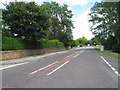
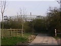
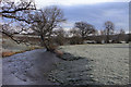
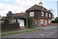
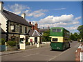

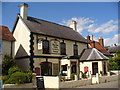
35 photos from this area
Area Information
Key information about the GU10 5LN including its size, population, and administrative classification.
- Area Type
- Postcode
- Area Size
- 1.3 hectares
- Population
- 1839
- Population Density
- 124 people/km²
House Prices in GU10 5LN
8
Properties
£376,000
Average Sold Price
£295,000
Lowest Price
£550,000
Highest Price
Showing 8 properties
| Address | Type | Beds | Baths | Last Sale Price | Last Sale Date | |
|---|---|---|---|---|---|---|
| The Old Police House, Main Road, Bentley, Farnham, GU10 5LN | house | - | - | £550,000 | Aug 2020 | |
| 4, Poplar Cottages, Main Road, Bentley, Farnham, GU10 5LN | Terraced | 3 | - | £390,000 | Oct 2014 | |
| 3, Poplar Cottages, Main Road, Bentley, Farnham, GU10 5LN | Terraced | 3 | - | £295,000 | Jun 2013 | |
| 2, Poplar Cottages, Main Road, Bentley, Farnham, GU10 5LN | Terraced | 3 | 2 | £315,000 | May 2012 | |
| 1, Poplar Cottages, Main Road, Bentley, Farnham, GU10 5LN | Terraced | - | - | £330,000 | Feb 2007 | |
| Talgarth, Main Road, Bentley, Farnham, GU10 5LN | Detached | 3 | - | - | - | |
| Pub Car Park For The Star Inn, Main Road, Bentley, Farnham, GU10 5LN | Bungalow | 2 | - | - | - | |
| Talgarth, Hole Lane, Bentley, Farnham, GU10 5LN | Detached | - | - | - | - |
Energy Efficiency in GU10 5LN
Amenities
Schools
| Rank | School | Type | Entry gender | Ages |
|---|
Explore more schools in this area
Go to Schools tabDemographics
Household Size
Family (3-5 people)
most common
Accommodation Type
Houses
most common
Tenure
70
majority
Ethnic Group
White
most common
Religion
N/A
most common
Household Composition
N/A
most common
Age
47
median
Adults (30-64 years)
most common
Household Deprivation
N/A
with no deprivation
NS-SEC
47
in Lower managerial occupations
Explore more demographic insights in this area
Go to Demographics tabPlanning
Planning Constraints
- Flood RiskPremium
- Ramsar Wetland SitesPremium
- Area of Outstanding Natural BeautyPremium
- Protected Nature ReservePremium
- Protected WoodlandPremium