Area Overview for GU10 5DU
Photos of GU10 5DU
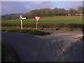
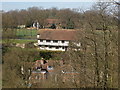

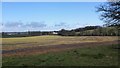
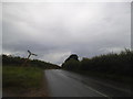
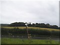
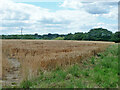
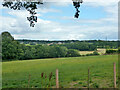
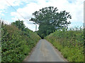
41 photos from this area
Area Information
Key information about the GU10 5DU including its size, population, and administrative classification.
- Area Type
- Postcode
- Area Size
- 18.9 hectares
- Population
- 1658
- Population Density
- 87 people/km²
House Prices in GU10 5DU
5
Properties
£1,537,000
Average Sold Price
£620,000
Lowest Price
£3,300,000
Highest Price
Showing 5 properties
| Address | Type | Beds | Baths | Last Sale Price | Last Sale Date | |
|---|---|---|---|---|---|---|
| Woodlands, Doras Green Lane, Dippenhall, Farnham, GU10 5DU | Bungalow | 7 | - | £3,300,000 | Aug 2023 | |
| Meads, Doras Green Lane, Dippenhall, Farnham, GU10 5DU | Detached | - | - | £1,600,000 | Oct 2006 | |
| Old Timbers, Doras Green Lane, Dippenhall, Farnham, GU10 5DU | Semi-detached | - | - | £628,000 | Aug 2003 | |
| Border Hill House, Doras Green Lane, Crondall, Farnham, GU10 5DU | Detached | - | - | £620,000 | May 1998 | |
| Halfway House, Doras Green Lane, Dippenhall, Farnham, GU10 5DU | Semi-detached | - | - | - | - |
Energy Efficiency in GU10 5DU
Amenities
Schools
| Rank | School | Type | Entry gender | Ages |
|---|
Explore more schools in this area
Go to Schools tabDemographics
Household Size
Two person
most common
Accommodation Type
Houses
most common
Tenure
80
majority
Ethnic Group
White
most common
Religion
N/A
most common
Household Composition
N/A
most common
Age
47
median
Adults (30-64 years)
most common
Household Deprivation
N/A
with no deprivation
NS-SEC
48
in Lower managerial occupations
Explore more demographic insights in this area
Go to Demographics tabPlanning
Planning Constraints
- Flood RiskPremium
- Ramsar Wetland SitesPremium
- Area of Outstanding Natural BeautyPremium
- Protected Nature ReservePremium
- Protected WoodlandPremium