Area Overview for GU10 5DG
Photos of GU10 5DG
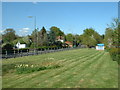

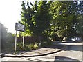

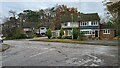
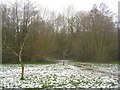
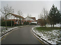
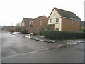
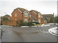

43 photos from this area
Area Information
Key information about the GU10 5DG including its size, population, and administrative classification.
- Area Type
- Postcode
- Area Size
- 2.0 hectares
- Population
- 2139
- Population Density
- 3008 people/km²
House Prices in GU10 5DG
33
Properties
£535,909
Average Sold Price
£152,500
Lowest Price
£900,000
Highest Price
Showing 33 properties
| Address | Type | Beds | Baths | Last Sale Price | Last Sale Date | |
|---|---|---|---|---|---|---|
| 8 Ewshot Gardens, Ewshot, Farnham, GU10 5DG | house | - | - | £200,000 | Jun 2025 | |
| 23 Ewshot Gardens, Ewshot, Farnham, GU10 5DG | Detached | 5 | 3 | £900,000 | Jan 2025 | |
| 19 Ewshot Gardens, Ewshot, Farnham, GU10 5DG | Retail | 3 | 2 | £535,000 | Feb 2022 | |
| 27 Ewshot Gardens, Ewshot, Farnham, GU10 5DG | Detached | 5 | 3 | £835,000 | Jun 2021 | |
| 10 Ewshot Gardens, Ewshot, Farnham, GU10 5DG | house | - | - | £342,500 | Mar 2021 | |
| 22 Ewshot Gardens, Ewshot, Farnham, GU10 5DG | Semi-detached | 4 | 3 | £555,000 | Aug 2020 | |
| 28 Ewshot Gardens, Ewshot, Farnham, GU10 5DG | Detached | 5 | 2 | £662,500 | Aug 2020 | |
| 16 Ewshot Gardens, Ewshot, Farnham, GU10 5DG | Semi-detached | 4 | - | £520,000 | Aug 2020 | |
| 17 Ewshot Gardens, Ewshot, Farnham, GU10 5DG | Detached | 3 | 2 | £490,000 | Aug 2018 | |
| 29 Ewshot Gardens, Ewshot, Farnham, GU10 5DG | Detached | 5 | 3 | £680,000 | Feb 2018 |
Page 1 of 4
Energy Efficiency in GU10 5DG
Amenities
Schools
| Rank | School | Type | Entry gender | Ages |
|---|
Explore more schools in this area
Go to Schools tabDemographics
Household Size
Family (3-5 people)
most common
Accommodation Type
Houses
most common
Tenure
73
majority
Ethnic Group
White
most common
Religion
N/A
most common
Household Composition
N/A
most common
Age
47
median
Adults (30-64 years)
most common
Household Deprivation
N/A
with no deprivation
NS-SEC
53
in Lower managerial occupations
Explore more demographic insights in this area
Go to Demographics tabPlanning
Planning Constraints
- Flood RiskPremium
- Ramsar Wetland SitesPremium
- Area of Outstanding Natural BeautyPremium
- Protected Nature ReservePremium
- Protected WoodlandPremium