Area Overview for GU10 5BB
Photos of GU10 5BB
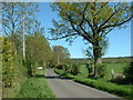
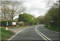
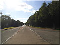

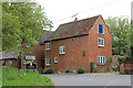
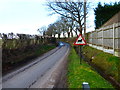
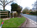
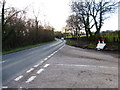
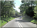
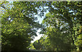
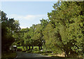
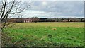
16 photos from this area
Area Information
Key information about the GU10 5BB including its size, population, and administrative classification.
- Area Type
- Postcode
- Area Size
- 8.0 hectares
- Population
- 1658
- Population Density
- 87 people/km²
House Prices in GU10 5BB
6
Properties
£937,000
Average Sold Price
£937,000
Lowest Price
£937,000
Highest Price
Showing 6 properties
| Address | Type | Beds | Baths | Last Sale Price | Last Sale Date | |
|---|---|---|---|---|---|---|
| Dares Farm House, Farnham Road, Ewshot, Farnham, GU10 5BB | Detached | 5 | 5 | £937,000 | Jul 2024 | |
| La Vista, Farnham Road, Ewshot, Farnham, GU10 5BB | house | - | - | - | - | |
| Advanced Security & Design Consultancy, Unit 1, Dares Farm, Farnham Road, Ewshot, Farnham, GU10 5BB | office_workshop | - | - | - | - | |
| Building 3, Dares Farm, Farnham Road, Ewshot, Farnham, GU10 5BB | office_workshop | - | - | - | - | |
| D H S Waterlogic, Unit 4, Dares Farm, Farnham Road, Ewshot, Farnham, GU10 5BB | office_workshop | - | - | - | - | |
| The Uk Water Group Ltd, Atlantic House, Dares Farm, Farnham Road, Ewshot, Farnham, GU10 5BB | Office | - | - | - | - |
Energy Efficiency in GU10 5BB
Amenities
Schools
| Rank | School | Type | Entry gender | Ages |
|---|
Explore more schools in this area
Go to Schools tabDemographics
Household Size
Two person
most common
Accommodation Type
Houses
most common
Tenure
80
majority
Ethnic Group
White
most common
Religion
N/A
most common
Household Composition
N/A
most common
Age
47
median
Adults (30-64 years)
most common
Household Deprivation
N/A
with no deprivation
NS-SEC
48
in Lower managerial occupations
Explore more demographic insights in this area
Go to Demographics tabPlanning
Planning Constraints
- Flood RiskPremium
- Ramsar Wetland SitesPremium
- Area of Outstanding Natural BeautyPremium
- Protected Nature ReservePremium
- Protected WoodlandPremium