Area Overview for GU10 4QW
Photos of GU10 4QW
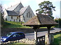
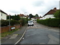
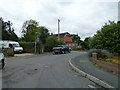
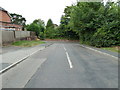
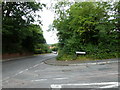
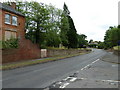
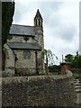
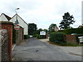
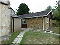
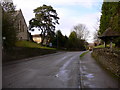
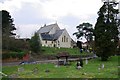
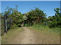
43 photos from this area
Area Information
Key information about the GU10 4QW including its size, population, and administrative classification.
- Area Type
- Postcode
- Area Size
- 6765 m²
- Population
- 1952
- Population Density
- 1518 people/km²
House Prices in GU10 4QW
22
Properties
£278,522
Average Sold Price
£89,000
Lowest Price
£520,000
Highest Price
Showing 22 properties
| Address | Type | Beds | Baths | Last Sale Price | Last Sale Date | |
|---|---|---|---|---|---|---|
| 28 Pottery Court, Wrecclesham, Farnham, GU10 4QW | Maisonette | 2 | 1 | £255,000 | Jul 2025 | |
| 9 Pottery Court, Wrecclesham, Farnham, GU10 4QW | Maisonette | - | - | £300,000 | Apr 2024 | |
| 19 Pottery Court, Wrecclesham, Farnham, GU10 4QW | Terraced | 3 | 1 | £425,000 | Sep 2022 | |
| 25 Pottery Court, Wrecclesham, Farnham, GU10 4QW | house | - | - | £520,000 | Apr 2022 | |
| 8 Pottery Court, Wrecclesham, Farnham, GU10 4QW | Maisonette | 3 | 1 | £285,000 | Nov 2019 | |
| 11 Pottery Court, Wrecclesham, Farnham, GU10 4QW | Terraced | - | - | £380,000 | Jul 2015 | |
| 18 Pottery Court, Wrecclesham, Farnham, GU10 4QW | house | - | - | £287,000 | May 2013 | |
| 12 Pottery Court, Wrecclesham, Farnham, GU10 4QW | Terraced | 2 | - | £265,000 | Aug 2012 | |
| 26 Pottery Court, Wrecclesham, Farnham, GU10 4QW | house | 4 | - | £306,000 | Sep 2011 | |
| 14 Pottery Court, Wrecclesham, Farnham, GU10 4QW | house | 3 | 2 | £370,000 | Nov 2010 |
Page 1 of 3
Energy Efficiency in GU10 4QW
Amenities
Schools
| Rank | School | Type | Entry gender | Ages |
|---|
Explore more schools in this area
Go to Schools tabDemographics
Household Size
Family (3-5 people)
most common
Accommodation Type
Houses
most common
Tenure
79
majority
Ethnic Group
White
most common
Religion
N/A
most common
Household Composition
N/A
most common
Age
47
median
Adults (30-64 years)
most common
Household Deprivation
N/A
with no deprivation
NS-SEC
52
in Lower managerial occupations
Explore more demographic insights in this area
Go to Demographics tabPlanning
Planning Constraints
- Flood RiskPremium
- Ramsar Wetland SitesPremium
- Area of Outstanding Natural BeautyPremium
- Protected Nature ReservePremium
- Protected WoodlandPremium