Area Overview for GU10 4PH
Photos of GU10 4PH
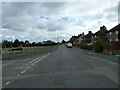
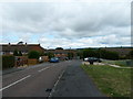
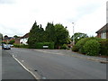
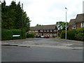
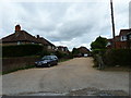
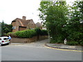
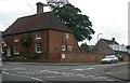
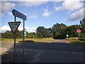
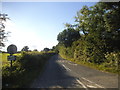
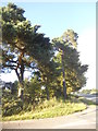
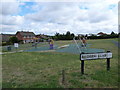
22 photos from this area
Area Information
Key information about the GU10 4PH including its size, population, and administrative classification.
- Area Type
- Postcode
- Area Size
- 2.0 hectares
- Population
- 1749
- Population Density
- 1282 people/km²
House Prices in GU10 4PH
55
Properties
£274,250
Average Sold Price
£81,000
Lowest Price
£550,000
Highest Price
Showing 55 properties
| Address | Type | Beds | Baths | Last Sale Price | Last Sale Date | |
|---|---|---|---|---|---|---|
| 36 Riverdale, Wrecclesham, Farnham, GU10 4PH | Semi-detached | 3 | 1 | £428,250 | Sep 2024 | |
| 24 Riverdale, Wrecclesham, Farnham, GU10 4PH | Semi-detached | 3 | 1 | £422,500 | Aug 2024 | |
| 27 Riverdale, Wrecclesham, Farnham, GU10 4PH | house | - | - | £324,500 | Apr 2024 | |
| 7 Riverdale, Wrecclesham, Farnham, GU10 4PH | house | - | - | £430,000 | Sep 2023 | |
| Pine Martens, Riverdale, Wrecclesham, Farnham, GU10 4PH | Semi-detached | 3 | 1 | £390,000 | May 2023 | |
| 5 Riverdale, Wrecclesham, Farnham, GU10 4PH | Semi-detached | 3 | 1 | £475,000 | Apr 2023 | |
| 16 Riverdale, Wrecclesham, Farnham, GU10 4PH | Semi-detached | 3 | 1 | £550,000 | Apr 2023 | |
| 45 Riverdale, Wrecclesham, Farnham, GU10 4PH | house | - | - | £320,000 | Aug 2021 | |
| 29 Riverdale, Wrecclesham, Farnham, GU10 4PH | Terraced | 3 | 1 | £295,000 | Apr 2021 | |
| 17 Riverdale, Wrecclesham, Farnham, GU10 4PH | Terraced | 3 | 1 | £320,000 | Oct 2020 |
Page 1 of 6
Energy Efficiency in GU10 4PH
Amenities
Schools
| Rank | School | Type | Entry gender | Ages |
|---|
Explore more schools in this area
Go to Schools tabDemographics
Household Size
Family (3-5 people)
most common
Accommodation Type
Houses
most common
Tenure
63
majority
Ethnic Group
White
most common
Religion
N/A
most common
Household Composition
N/A
most common
Age
47
median
Adults (30-64 years)
most common
Household Deprivation
N/A
with no deprivation
NS-SEC
35
in Lower managerial occupations
Explore more demographic insights in this area
Go to Demographics tabPlanning
Planning Constraints
- Flood RiskPremium
- Ramsar Wetland SitesPremium
- Area of Outstanding Natural BeautyPremium
- Protected Nature ReservePremium
- Protected WoodlandPremium