Area Overview for GU10 1NE
Photos of GU10 1NE
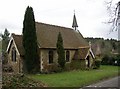
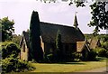
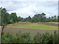
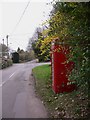
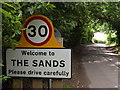
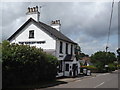
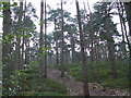
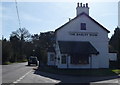
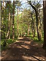
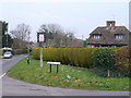
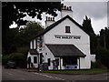
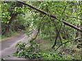
17 photos from this area
Area Information
Key information about the GU10 1NE including its size, population, and administrative classification.
- Area Type
- Postcode
- Area Size
- 3.4 hectares
- Population
- 1257
- Population Density
- 77 people/km²
House Prices in GU10 1NE
8
Properties
£709,250
Average Sold Price
£185,500
Lowest Price
£1,580,000
Highest Price
Showing 8 properties
| Address | Type | Beds | Baths | Last Sale Price | Last Sale Date | |
|---|---|---|---|---|---|---|
| The Hayven, Littleworth Road, The Sands, Farnham, GU10 1NE | house | - | - | £1,115,000 | Dec 2020 | |
| Holland Hill, Littleworth Road, The Sands, Farnham, GU10 1NE | Detached | 6 | - | £1,580,000 | Jun 2014 | |
| Tilmead, Littleworth Road, The Sands, Farnham, GU10 1NE | house | - | - | £585,000 | Dec 2013 | |
| Kashmir Cottage, Littleworth Road, The Sands, Farnham, GU10 1NE | Semi-detached | 4 | 2 | £555,000 | Nov 2013 | |
| Little Orchard, Littleworth Road, The Sands, Farnham, GU10 1NE | Detached | - | - | £235,000 | Mar 1998 | |
| Chestnut Cottage, Littleworth Road, The Sands, Farnham, GU10 1NE | Semi-detached | - | - | £185,500 | Sep 1997 | |
| Dormicot, Littleworth Road, The Sands, Farnham, GU10 1NE | Semi-detached | 5 | 4 | - | - | |
| Sands Recreation Ground, Binton Lane, Seale, GU10 1NE | Leisure | - | - | - | - |
Energy Efficiency in GU10 1NE
Amenities
Schools
| Rank | School | Type | Entry gender | Ages |
|---|
Explore more schools in this area
Go to Schools tabDemographics
Household Size
Two person
most common
Accommodation Type
Houses
most common
Tenure
85
majority
Ethnic Group
White
most common
Religion
N/A
most common
Household Composition
N/A
most common
Age
47
median
Adults (30-64 years)
most common
Household Deprivation
N/A
with no deprivation
NS-SEC
53
in Lower managerial occupations
Explore more demographic insights in this area
Go to Demographics tabPlanning
Planning Constraints
- Flood RiskPremium
- Ramsar Wetland SitesPremium
- Area of Outstanding Natural BeautyPremium
- Protected Nature ReservePremium
- Protected WoodlandPremium