Area Overview for GU10 1HY
Photos of GU10 1HY
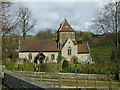
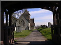
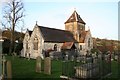
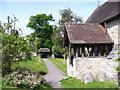
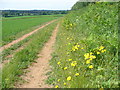
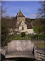
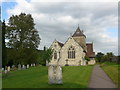
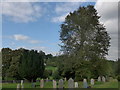
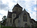
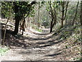
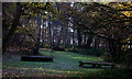
70 photos from this area
Area Information
Key information about the GU10 1HY including its size, population, and administrative classification.
- Area Type
- Postcode
- Area Size
- 36.4 hectares
- Population
- 1257
- Population Density
- 77 people/km²
House Prices in GU10 1HY
18
Properties
£553,000
Average Sold Price
£265,000
Lowest Price
£870,000
Highest Price
Showing 18 properties
| Address | Type | Beds | Baths | Last Sale Price | Last Sale Date | |
|---|---|---|---|---|---|---|
| Richmond Cottage, School Hill, Seale, GU10 1HY | Cottage | 3 | 1 | £850,000 | Dec 2024 | |
| School Hill Cottage, School Hill, Seale, GU10 1HY | Detached | 3 | 2 | £870,000 | Sep 2019 | |
| Olivers, School Hill, Seale, GU10 1HY | Bungalow | 3 | 2 | £345,000 | May 2005 | |
| Fourways, School Hill, Seale, GU10 1HY | Detached | - | - | £435,000 | Jul 2004 | |
| Broad Oak Cottage, School Hill, Seale, GU10 1HY | Semi-detached | - | - | £265,000 | Jul 1998 | |
| Masku Tallit, School Hill, Seale, GU10 1HY | Detached | 4 | 2 | - | - | |
| 3, The Old School House, School Hill, Seale, GU10 1HY | Semi-detached | 3 | 1 | - | - | |
| 1, The Old School House, School Hill, Seale, GU10 1HY | Semi-detached | 2 | 1 | - | - | |
| 2, The Old School House, School Hill, Seale, GU10 1HY | Detached | 3 | 1 | - | - | |
| The Old School House, School Hill, Seale, GU10 1HY | Terraced | 2 | - | - | - |
Page 1 of 2
Energy Efficiency in GU10 1HY
Amenities
Schools
| Rank | School | Type | Entry gender | Ages |
|---|
Explore more schools in this area
Go to Schools tabDemographics
Household Size
Two person
most common
Accommodation Type
Houses
most common
Tenure
85
majority
Ethnic Group
White
most common
Religion
N/A
most common
Household Composition
N/A
most common
Age
47
median
Adults (30-64 years)
most common
Household Deprivation
N/A
with no deprivation
NS-SEC
53
in Lower managerial occupations
Explore more demographic insights in this area
Go to Demographics tabPlanning
Planning Constraints
- Flood RiskPremium
- Ramsar Wetland SitesPremium
- Area of Outstanding Natural BeautyPremium
- Protected Nature ReservePremium
- Protected WoodlandPremium