Area Overview for GU1 2TG
Photos of GU1 2TG
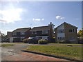
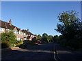
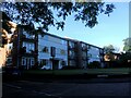
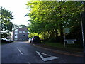
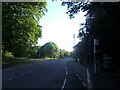
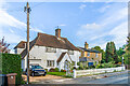
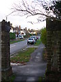
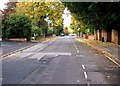
52 photos from this area
Area Information
Key information about the GU1 2TG including its size, population, and administrative classification.
- Area Type
- Postcode
- Area Size
- 2.3 hectares
- Population
- 1609
- Population Density
- 2532 people/km²
House Prices in GU1 2TG
23
Properties
£617,654
Average Sold Price
£205,000
Lowest Price
£1,160,000
Highest Price
Showing 23 properties
| Address | Type | Beds | Baths | Last Sale Price | Last Sale Date | |
|---|---|---|---|---|---|---|
| 9 Grasmere Close, Guildford, GU1 2TG | Detached | 4 | 2 | £1,160,000 | Feb 2025 | |
| 6 Grasmere Close, Guildford, GU1 2TG | Detached | 3 | 1 | £770,000 | May 2020 | |
| 8 Grasmere Close, Guildford, GU1 2TG | Detached | 5 | 2 | £990,000 | Jan 2017 | |
| 1 Grasmere Close, Guildford, GU1 2TG | Detached | 3 | - | £840,000 | Aug 2016 | |
| 2 Grasmere Close, Guildford, GU1 2TG | house | - | - | £888,000 | Jan 2014 | |
| 12 Grasmere Close, Guildford, GU1 2TG | Detached | - | - | £615,000 | Nov 2006 | |
| 17 Grasmere Close, Guildford, GU1 2TG | Detached | - | - | £750,000 | Nov 2006 | |
| 20 Grasmere Close, Guildford, GU1 2TG | Detached | - | - | £500,000 | Sep 2004 | |
| 22 Grasmere Close, Guildford, GU1 2TG | Semi-detached | - | - | £510,000 | Oct 2003 | |
| Helm Crag, 16 Grasmere Close, Guildford, GU1 2TG | Detached | - | - | £245,000 | Sep 2002 |
Page 1 of 3
Energy Efficiency in GU1 2TG
Amenities
Schools
| Rank | School | Type | Entry gender | Ages |
|---|
Explore more schools in this area
Go to Schools tabDemographics
Household Size
Family (3-5 people)
most common
Accommodation Type
Houses
most common
Tenure
80
majority
Ethnic Group
White
most common
Religion
N/A
most common
Household Composition
N/A
most common
Age
47
median
Adults (30-64 years)
most common
Household Deprivation
N/A
with no deprivation
NS-SEC
53
in Lower managerial occupations
Explore more demographic insights in this area
Go to Demographics tabPlanning
Planning Constraints
- Flood RiskPremium
- Ramsar Wetland SitesPremium
- Area of Outstanding Natural BeautyPremium
- Protected Nature ReservePremium
- Protected WoodlandPremium