Area Overview for Filkins and Broughton Poggs
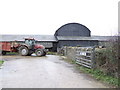
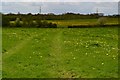
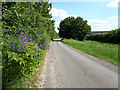
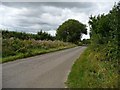
Photos of Filkins and Broughton Poggs

Area Information
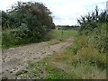
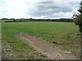
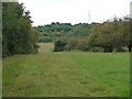
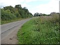
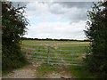
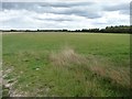
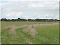
Living in Filkins and Broughton Poggs means joining a small civil parish that spans 10.9 square kilometres. This settlement sits within the historic borders of England, offering a compact community footprint distinct from larger urban centres. The area functions as a traditional parish where daily life revolves around a close-knit local environment rather than the pace of a major town. Prospective buyers entering the market here find a landscape defined by its rural character and defined administrative boundaries. You will live in a region where the scale of the community allows for personal familiarity with neighbours and local services. The size of the parish ensures that residents maintain a connection to the wider countryside while accessing established amenities within a short distance. This setting provides a stable backdrop for those prioritising a quiet, manageable living environment over the density of metropolitan life. The area stands as a defined entity in the English legal and geographical framework, recognised for its specific rural qualifications.
- Area Type
- Parish
- Area Size
- 10.9 km²
- Population
- Not available
- Population Density
- Not available
Demographics
The community demographic profile in Filkins and Broughton Poggs reflects an older population with a median age of 70 years. This figure indicates that the majority of residents belong to the senior age bracket, shaping the district into a mature neighbourhood. You will find that the most common age group aligns broadly with the total population statistics, confirming a high concentration of older adults. Home ownership sits at an impressive 67 per cent, meaning two out of every three households have owned their property outright. This high level of ownership suggests deep-rooted families and long-term residents who have invested in staying in the parish. The household composition data shows a total mix that correlates with this older demographic, while accommodation types follow the same established patterns. Diversity metrics indicate the predominant ethnic group as a general total, consistent with typical rural English parishes. Deprivation metrics are not explicitly detailed in the available statistics, but the high ownership rate and older age profile generally point to a financially stable, non-deprived locality.
Household Size
Accommodation Type
Tenure
Ethnic Group
Religion
Household Composition
Age
Household Deprivation
NS-SEC
Explore more demographic insights in this area
Go to Demographics tabPlanning
Planning Constraints
- Flood RiskPremium
- Ramsar Wetland SitesPremium
- Area of Outstanding Natural BeautyPremium
- Protected Nature ReservePremium
- Protected WoodlandPremium
- Crime RiskPremium