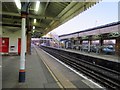
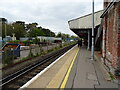
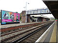
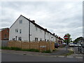
Area Overview for Fareham
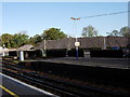
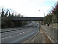
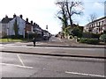
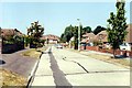
Photos of Fareham


Area Information
Fareham is a built-up area in southern England with a population of 3,038 residents. Spread across 11.6 square kilometres, the neighbourhood features a population density of 263 people per square kilometre. This relatively small footprint creates a concentrated community rather than a sprawling urban expanse. The area functions as a distinct town within the wider Hampshire district, offering a self-contained environment for daily living. Residents benefit from a localised footprint where services and neighbours are within close reaching distance. The scale of the area ensures that the community remains manageable without sacrificing access to essential facilities. You will find a setting that balances residential quiet with practical convenience. The defined boundaries of the built-up zone contribute to a sense of place that distinguishes Fareham from larger metropolitan regions. Living here means engaging with a specific locality where the scale of the town supports a stable, close-knit atmosphere. The area\'s size allows for easy navigation while maintaining the independence of a residential zone.
- Area Type
- District/Borough
- Area Size
- 11.6 km²
- Population
- 3038
- Population Density
- 263 people/km²
Demographics
The community profile of Fareham reflects a settled population with a median age of 70 years. This age distribution indicates that the area is populated largely by older residents. Home ownership stands at 76 per cent, meaning the majority of households own their properties outright or with a mortgage. This high ownership rate suggests the area caters to people who have settled long-term rather than transient renters. The accommodation data points to a stable housing stock designed for established households. Deprivation levels are managed within the existing social structure, supporting the quality of life expected in a mature neighbourhood. The demographic makeup indicates a region where residents have put down roots. You will encounter a population that values stability and established community ties. The household composition aligns with the needs of older families and retired individuals. These figures confirm that Fareham is a place for those seeking a permanent, owned home in a quiet setting.
Household Size
Accommodation Type
Tenure
Ethnic Group
Religion
Household Composition
Age
Household Deprivation
NS-SEC
Explore more demographic insights in this area
Go to Demographics tabPlanning
Planning Constraints
- Crime RiskPremium