Area Overview for Brighton and Hove
Photos of Brighton and Hove
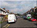
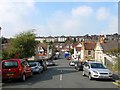
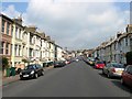
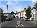
100 photos from this area
Area Information
Key information about the Brighton and Hove including its size, population, and administrative classification.
- Area Type
- Built Up Area 250
- Area Size
- 41.7 km²
- Population
- 156433
- Population Density
- 3751 people/km²
Amenities
Schools
| Rank | A + A* % | School | Type | Entry gender | Ages |
|---|---|---|---|---|---|
| 1 | N/A | Tarnerland Nursery School | nursery | N/A | N/A |
| 2 | N/A | Royal Spa Nursery School | nursery | N/A | N/A |
| 3 | N/A | St George's House | other | N/A | N/A |
| 4 | N/A | Coleman Street Annexe | other | N/A | N/A |
| 5 | N/A | Primary Annexe | other | N/A | N/A |
Explore more schools in this area
Go to Schools tabDemographics
Household Size
total
most common
Accommodation Type
total
most common
Tenure
53
majority
Ethnic Group
total
most common
Religion
total
most common
Household Composition
total
most common
Age
70
median
Age: Total
most common
Household Deprivation
N/A
with no deprivation
NS-SEC
38
in Lower managerial occupations
Explore more demographic insights in this area
Go to Demographics tabPlanning
Planning Constraints
- Crime RiskLocked