Area Overview for Downland Villages Ward
Photos of Downland Villages Ward


Area Information
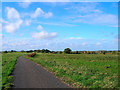
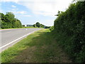
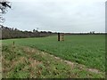
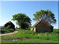
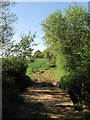
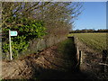
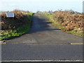
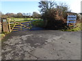
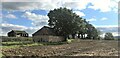
Living in Downland Villages Ward offers a distinct experience within the English countryside. This district borough unitary ward covers an area of 54.2 km², providing a significant footprint for its residents. The location is defined by its rural character and relative isolation from dense urban centres. You will find a community where daily life revolves around local amenities and natural surroundings rather than city centres. The ward represents a substantial residential zone that balances privacy with access to essential services. Prospective homebuyers should consider that choices and daily convenience vary from your nearest town or village hub. The size of the area means you can drive short distances to access facilities not immediately on your doorstep. Your neighbour's routine and your own lifestyle will depend heavily on these geographical realities. Understanding the scale of 54.2 km² helps you plan your commute and social activities effectively. This is a place where space is a primary feature of everyday life.
- Area Type
- District Borough Unitary Ward
- Area Size
- 54.2 km²
- Population
- Not available
- Population Density
- Not available
Demographics
The community in Downland Villages Ward reflects a settled population with clear demographic trends. The median age stands at 70 years, indicating a cohort that has resided here for a long period. Most household compositions consist of total households, while accommodation types align with the older demographic profile. Home ownership rates are high at 72%, creating a stable and invested local community. You are joining a neighbourhood where long-term residents hold the majority of properties. This level of ownership suggests a deep root in the area rather than a transient population. The age profile means that schools near Downland Villages Ward serve a specific purpose for the few younger families or dependents present. Daily social interactions often centre on services catering to older adults rather than young professionals or large families. The predominant ethnic group and religious affiliations remain consistent with the broader settling trends observed in such wards.
Household Size
Accommodation Type
Tenure
Ethnic Group
Religion
Household Composition
Age
Household Deprivation
NS-SEC
Explore more demographic insights in this area
Go to Demographics tabPlanning
Planning Constraints
- Flood RiskPremium
- Ramsar Wetland SitesPremium
- Area of Outstanding Natural BeautyPremium
- Protected Nature ReservePremium
- Protected WoodlandPremium
- Crime RiskPremium