Area Overview for Dorking North Ward
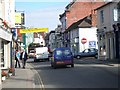
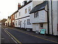
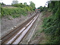
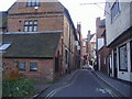
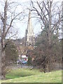
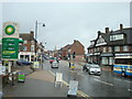
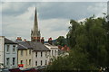
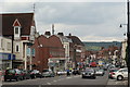
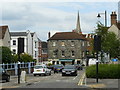
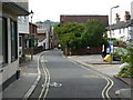
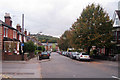
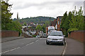
Photos of Dorking North Ward
Area Information
Living in Dorking North Ward offers a distinct character defined by its small size and established nature. This district borough unitary ward spans just 3.4 km², creating an intimate setting where residents share a tightly knit environment. The area sits within the broader Dorking landscape, presenting a quiet alternative to larger urban centres while maintaining access to local amenities. Residents here experience daily life in a compact space where neighbours are frequently within walking distance. The ward represents a specific slice of Surrey, blending residential needs with local planning constraints that shape the built environment. You will find yourself in a community where the scale is manageable, ideal for those who prefer a contained lifestyle over sprawling suburbs. The physical boundaries of this 3.4 km² zone influence how close you live to green spaces and infrastructure, contributing to a unique rhythm for anyone buying homes in Dorking North Ward. It is a place where the limits of the ward define the extent of your immediate world, offering a focused living experience distinct from wider borough developments.
- Area Type
- District Borough Unitary Ward
- Area Size
- 3.4 km²
- Population
- Not available
- Population Density
- Not available
Demographics
The community profile of Dorking North Ward reflects a mature population with significant housing stability. The median age across the ward is 70, indicating a demographic comprised largely of older residents. While the census data does not break down age percentages by specific decades beyond this central figure, the high median age suggests a retirement-focused population or a community with many long-term families raising children into adulthood and then ageing in place. Home ownership stands at 67%, a figure that implies a strong preference for owning property rather than renting. This high rate of ownership is typical of areas populated by retirees and established families who have stayed for decades. The ward covers the total household composition, meaning the community relates to accessible, residential living rather than transient accommodation types. With home ownership well above the national average, the area feels settled, and buyers can expect a neighbourhood where long-term residents are the norm rather than short-term tenants.
Household Size
Accommodation Type
Tenure
Ethnic Group
Religion
Household Composition
Age
Household Deprivation
NS-SEC
Explore more demographic insights in this area
Go to Demographics tabPlanning
Planning Constraints
- Flood RiskPremium
- Ramsar Wetland SitesPremium
- Area of Outstanding Natural BeautyPremium
- Protected Nature ReservePremium
- Protected WoodlandPremium
- Crime RiskPremium