Area Overview for Didcot North East Ward
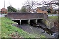
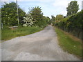
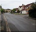
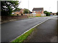
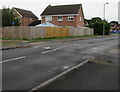
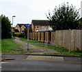
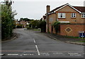
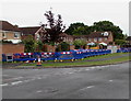
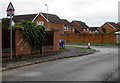
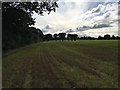
Photos of Didcot North East Ward


Area Information
Didcot North East Ward sits as a defined district council ward within South Oxfordshire, covering an area of 5.2 km². It operates as part of the unitary authority area that encompasses the town of Didcot. You will find this location approximately 15 miles south of Oxford, 10 miles east of Wantage, and 15 miles northwest of Reading. The ward boundaries were established under current regulations in 2015, which reduced the total number of Didcot wards from four to three, creating Didcot North East, Didcot West, and Didcot South. This change reflects a strategic reorganisation of the local administrative landscape. The population stands at 1,426 residents, resulting in a density of 272 people per square kilometre. This figure indicates a compact settlement pattern rather than sprawling suburban development. Didcot itself is recognised as a railway town, a legacy stretching back to the opening of Didcot station in 1844. This station remains a junction on the Great Western Main Line, providing essential rail links to major cities. Living in Didcot North East Ward places you within this historically significant network while maintaining proximity to broader regional hubs. The area combines its administrative definition with tangible geographical advantages, offering a setting that balances local governance with strategic transport positioning.
- Area Type
- District Borough Unitary Ward
- Area Size
- 5.2 km²
- Population
- 1426
- Population Density
- 272 people/km²
Demographics
The community profile of Didcot North East Ward is defined by a median age of 70 years. This statistic places the area firmly within the demographic category of older residents. The most common age range listed in the data is simply designated as "Age: Total," which confirms the dominance of the elderly cohort in this specific ward. With a median age of 70, you are looking at a neighbourhood that caters specifically to retirees or those in later stages of life. Home ownership is a defining feature of this settlement, with 66% of households owning their properties. This high proportion suggests a stable community where families have established long-term roots. The remaining 34% of households are rented, indicating a smaller but present rental sector within the ward. The data provides limited specific breakdowns regarding household composition, predominant ethnic groups, religious affiliations, or detailed accommodation types beyond the aggregate total. Consequently, the demographic picture remains clear regarding age and ownership, while finer details on diversity or family structures are not available in the current records. You should expect an environment primarily populated by older adults who have purchased their homes over time.
Household Size
Accommodation Type
Tenure
Ethnic Group
Religion
Household Composition
Age
Household Deprivation
NS-SEC
Explore more demographic insights in this area
Go to Demographics tabPlanning
Planning Constraints
- Flood RiskPremium
- Ramsar Wetland SitesPremium
- Area of Outstanding Natural BeautyPremium
- Protected Nature ReservePremium
- Protected WoodlandPremium
- Crime RiskPremium