Area Overview for DA9 9SZ
Photos of DA9 9SZ
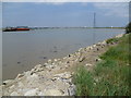
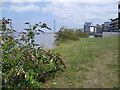
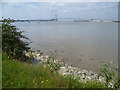
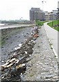
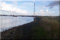
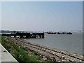
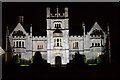
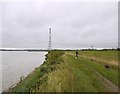
60 photos from this area
Area Information
Key information about the DA9 9SZ including its size, population, and administrative classification.
- Area Type
- Postcode
- Area Size
- 1171 m²
- Population
- 1568
- Population Density
- 9697 people/km²
House Prices in DA9 9SZ
7
Properties
£388,714
Average Sold Price
£325,000
Lowest Price
£480,000
Highest Price
Showing 7 properties
| Address | Type | Beds | Baths | Last Sale Price | Last Sale Date | |
|---|---|---|---|---|---|---|
| 5 Stonely Crescent, Greenhithe, DA9 9SZ | house | 4 | 1 | £480,000 | Jul 2023 | |
| 3 Stonely Crescent, Greenhithe, DA9 9SZ | Terraced | 4 | 2 | £450,000 | Sep 2021 | |
| The Resort House, 4 Stonely Crescent, Greenhithe, DA9 9SZ | Terraced | 4 | 3 | £380,000 | Mar 2021 | |
| 7 Stonely Crescent, Greenhithe, DA9 9SZ | Terraced | 4 | 3 | £370,000 | Feb 2019 | |
| 2 Stonely Crescent, Greenhithe, DA9 9SZ | Terraced | 4 | 2 | £390,000 | Sep 2018 | |
| 6 Stonely Crescent, Greenhithe, DA9 9SZ | Terraced | - | - | £325,000 | Apr 2007 | |
| 1 Stonely Crescent, Greenhithe, DA9 9SZ | Semi-detached | 4 | 2 | £326,000 | Nov 2006 |
Energy Efficiency in DA9 9SZ
Amenities
Schools
| Rank | School | Type | Entry gender | Ages |
|---|
Explore more schools in this area
Go to Schools tabDemographics
Household Size
One person
most common
Accommodation Type
Flats
most common
Tenure
59
majority
Ethnic Group
White
most common
Religion
N/A
most common
Household Composition
N/A
most common
Age
47
median
Adults (30-64 years)
most common
Household Deprivation
N/A
with no deprivation
NS-SEC
46
in Lower managerial occupations
Explore more demographic insights in this area
Go to Demographics tabPlanning
Planning Constraints
- Flood RiskPremium
- Ramsar Wetland SitesPremium
- Area of Outstanding Natural BeautyPremium
- Protected Nature ReservePremium
- Protected WoodlandPremium