Area Overview for DA9 9RJ
Photos of DA9 9RJ
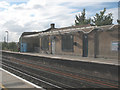
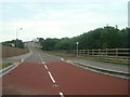
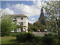
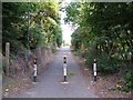
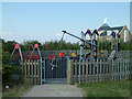
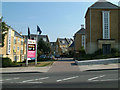
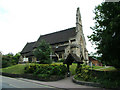
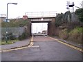
69 photos from this area
Area Information
Key information about the DA9 9RJ including its size, population, and administrative classification.
- Area Type
- Postcode
- Area Size
- 4504 m²
- Population
- 2041
- Population Density
- 6496 people/km²
House Prices in DA9 9RJ
16
Properties
£298,196
Average Sold Price
£145,000
Lowest Price
£455,000
Highest Price
Showing 16 properties
| Address | Type | Beds | Baths | Last Sale Price | Last Sale Date | |
|---|---|---|---|---|---|---|
| 22 Sanderling Way, Stone, DA9 9RJ | Flat | 2 | 2 | £215,000 | Dec 2025 | |
| 26 Sanderling Way, Stone, DA9 9RJ | Flat | - | - | £230,000 | Dec 2024 | |
| 32 Sanderling Way, Stone, DA9 9RJ | Semi-detached | 3 | 2 | £455,000 | Sep 2024 | |
| 18 Sanderling Way, Stone, DA9 9RJ | Flat | 2 | 2 | £245,995 | May 2024 | |
| 24 Sanderling Way, Stone, DA9 9RJ | Flat | - | - | £200,000 | Aug 2014 | |
| 2 Sanderling Way, Stone, DA9 9RJ | Detached | 4 | - | £300,000 | Feb 2014 | |
| 12 Sanderling Way, Stone, DA9 9RJ | house | - | - | £400,000 | Jan 2013 | |
| 6 Sanderling Way, Stone, DA9 9RJ | house | 5 | - | £395,000 | Nov 2012 | |
| 4 Sanderling Way, Stone, DA9 9RJ | Detached | 5 | 3 | £375,000 | Jul 2012 | |
| 20 Sanderling Way, Stone, DA9 9RJ | Flat | - | - | £149,995 | Apr 2010 |
Page 1 of 2
Energy Efficiency in DA9 9RJ
Amenities
Schools
| Rank | School | Type | Entry gender | Ages |
|---|
Explore more schools in this area
Go to Schools tabDemographics
Household Size
Family (3-5 people)
most common
Accommodation Type
Flats
most common
Tenure
63
majority
Ethnic Group
White
most common
Religion
N/A
most common
Household Composition
N/A
most common
Age
47
median
Adults (30-64 years)
most common
Household Deprivation
N/A
with no deprivation
NS-SEC
45
in Lower managerial occupations
Explore more demographic insights in this area
Go to Demographics tabPlanning
Planning Constraints
- Flood RiskPremium
- Ramsar Wetland SitesPremium
- Area of Outstanding Natural BeautyPremium
- Protected Nature ReservePremium
- Protected WoodlandPremium