Area Overview for DA9 9JY
Photos of DA9 9JY
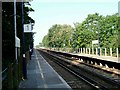
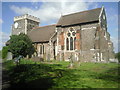
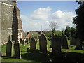
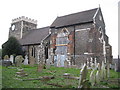
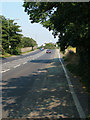
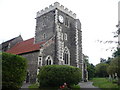
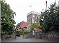
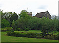
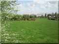
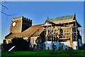
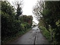
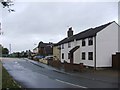
82 photos from this area
Area Information
Key information about the DA9 9JY including its size, population, and administrative classification.
- Area Type
- Postcode
- Area Size
- 3.6 hectares
- Population
- 2190
- Population Density
- 738 people/km²
House Prices in DA9 9JY
39
Properties
£252,021
Average Sold Price
£64,000
Lowest Price
£600,000
Highest Price
Showing 39 properties
| Address | Type | Beds | Baths | Last Sale Price | Last Sale Date | |
|---|---|---|---|---|---|---|
| 83 Hedge Place Road, Greenhithe, DA9 9JY | Semi-detached | 3 | 1 | £420,000 | Oct 2025 | |
| 63 Hedge Place Road, Greenhithe, DA9 9JY | Semi-detached | 3 | 1 | £370,000 | Dec 2024 | |
| 101 Hedge Place Road, Greenhithe, DA9 9JY | house | - | - | £600,000 | Feb 2023 | |
| 69 Hedge Place Road, Greenhithe, DA9 9JY | Semi-detached | 4 | - | £421,000 | Jun 2021 | |
| 61 Hedge Place Road, Greenhithe, DA9 9JY | Detached | 3 | 2 | £435,000 | Mar 2021 | |
| 73 Hedge Place Road, Greenhithe, DA9 9JY | Semi-detached | 3 | 1 | £350,000 | Aug 2017 | |
| 39 Hedge Place Road, Greenhithe, DA9 9JY | Semi-detached | 3 | - | £360,000 | Nov 2016 | |
| 43 Hedge Place Road, Greenhithe, DA9 9JY | Bungalow | 4 | - | £405,000 | Aug 2016 | |
| 91 Hedge Place Road, Greenhithe, DA9 9JY | Semi-detached | 3 | - | £290,000 | Apr 2015 | |
| 55 Hedge Place Road, Greenhithe, DA9 9JY | Semi-detached | 3 | 1 | £176,000 | Mar 2013 |
Page 1 of 4
Energy Efficiency in DA9 9JY
Amenities
Schools
| Rank | School | Type | Entry gender | Ages |
|---|
Explore more schools in this area
Go to Schools tabDemographics
Household Size
One person
most common
Accommodation Type
Flats
most common
Tenure
56
majority
Ethnic Group
White
most common
Religion
N/A
most common
Household Composition
N/A
most common
Age
47
median
Adults (30-64 years)
most common
Household Deprivation
N/A
with no deprivation
NS-SEC
34
in Lower managerial occupations
Explore more demographic insights in this area
Go to Demographics tabPlanning
Planning Constraints
- Flood RiskPremium
- Ramsar Wetland SitesPremium
- Area of Outstanding Natural BeautyPremium
- Protected Nature ReservePremium
- Protected WoodlandPremium