Area Overview for DA9 9JR
Photos of DA9 9JR
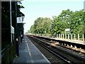
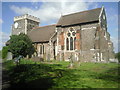
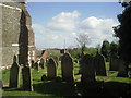
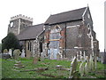
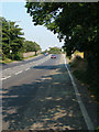
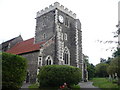
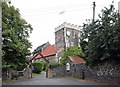
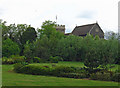
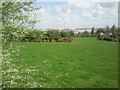
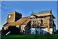
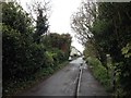
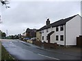
82 photos from this area
Area Information
Key information about the DA9 9JR including its size, population, and administrative classification.
- Area Type
- Postcode
- Area Size
- 6923 m²
- Population
- 2190
- Population Density
- 738 people/km²
House Prices in DA9 9JR
12
Properties
£272,678
Average Sold Price
£88,100
Lowest Price
£450,000
Highest Price
Showing 12 properties
| Address | Type | Beds | Baths | Last Sale Price | Last Sale Date | |
|---|---|---|---|---|---|---|
| 12 Church Path, Stone, Greenhithe, DA9 9JR | Bungalow | 3 | 1 | £450,000 | Nov 2020 | |
| 9 Church Path, Stone, Greenhithe, DA9 9JR | Bungalow | 2 | 1 | £332,000 | Nov 2018 | |
| 6 Church Path, Stone, Greenhithe, DA9 9JR | Semi-detached | 3 | 2 | £385,000 | Nov 2017 | |
| 8 Church Path, Stone, Greenhithe, DA9 9JR | Bungalow | 2 | - | £283,000 | Feb 2017 | |
| 2 Church Path, Stone, Greenhithe, DA9 9JR | Bungalow | 2 | 1 | £210,000 | Mar 2012 | |
| 1 Church Path, Stone, Greenhithe, DA9 9JR | Semi-detached | - | - | £200,000 | Aug 2009 | |
| 5 Church Path, Stone, Greenhithe, DA9 9JR | Bungalow | 2 | 1 | £210,000 | Aug 2004 | |
| 13 Church Path, Stone, Greenhithe, DA9 9JR | Detached | - | - | £296,000 | Dec 2002 | |
| 3 Church Path, Stone, Greenhithe, DA9 9JR | Bungalow | 2 | 1 | £88,100 | Oct 1999 | |
| 7 Church Path, Stone, Greenhithe, DA9 9JR | Semi-detached | - | - | - | - |
Page 1 of 2
Energy Efficiency in DA9 9JR
Amenities
Schools
| Rank | School | Type | Entry gender | Ages |
|---|
Explore more schools in this area
Go to Schools tabDemographics
Household Size
One person
most common
Accommodation Type
Flats
most common
Tenure
56
majority
Ethnic Group
White
most common
Religion
N/A
most common
Household Composition
N/A
most common
Age
47
median
Adults (30-64 years)
most common
Household Deprivation
N/A
with no deprivation
NS-SEC
34
in Lower managerial occupations
Explore more demographic insights in this area
Go to Demographics tabPlanning
Planning Constraints
- Flood RiskPremium
- Ramsar Wetland SitesPremium
- Area of Outstanding Natural BeautyPremium
- Protected Nature ReservePremium
- Protected WoodlandPremium