Area Overview for DA9 9AS
Photos of DA9 9AS

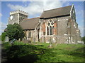
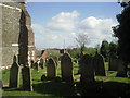
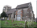
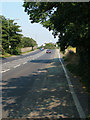

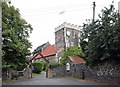
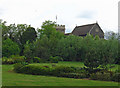
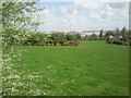

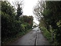
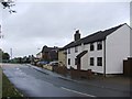
82 photos from this area
Area Information
Key information about the DA9 9AS including its size, population, and administrative classification.
- Area Type
- Postcode
- Area Size
- 1.7 hectares
- Population
- 2190
- Population Density
- 738 people/km²
House Prices in DA9 9AS
52
Properties
£226,472
Average Sold Price
£97,500
Lowest Price
£490,000
Highest Price
Showing 52 properties
| Address | Type | Beds | Baths | Last Sale Price | Last Sale Date | |
|---|---|---|---|---|---|---|
| 21 St Marys Road, Stone, DA9 9AS | house | 2 | 1 | £325,000 | Mar 2025 | |
| 11 St Marys Road, Stone, DA9 9AS | Terraced | 2 | 1 | £285,000 | Nov 2024 | |
| 22 St Marys Road, Stone, DA9 9AS | house | 2 | 1 | £308,000 | Jul 2022 | |
| 12 St Marys Road, Stone, DA9 9AS | Terraced | 2 | - | £240,000 | Jan 2017 | |
| 5 St Marys Road, Stone, DA9 9AS | Terraced | 2 | - | £166,000 | Jun 2016 | |
| 2 St Marys Road, Stone, DA9 9AS | Terraced | 2 | - | £490,000 | Mar 2016 | |
| 1D St Marys Road, Stone, DA9 9AS | Retail | 2 | 1 | £300,000 | Dec 2015 | |
| Thames View Bungalow, St Marys Road, Stone, DA9 9AS | Detached | 2 | 1 | £260,000 | Nov 2015 | |
| 8 St Marys Road, Stone, DA9 9AS | Terraced | 2 | 1 | £97,500 | Aug 2013 | |
| 3 St Marys Road, Stone, DA9 9AS | Terraced | 2 | 1 | £155,000 | Jun 2013 |
Page 1 of 6
Energy Efficiency in DA9 9AS
Amenities
Schools
| Rank | School | Type | Entry gender | Ages |
|---|
Explore more schools in this area
Go to Schools tabDemographics
Household Size
One person
most common
Accommodation Type
Flats
most common
Tenure
56
majority
Ethnic Group
White
most common
Religion
N/A
most common
Household Composition
N/A
most common
Age
47
median
Adults (30-64 years)
most common
Household Deprivation
N/A
with no deprivation
NS-SEC
34
in Lower managerial occupations
Explore more demographic insights in this area
Go to Demographics tabPlanning
Planning Constraints
- Flood RiskPremium
- Ramsar Wetland SitesPremium
- Area of Outstanding Natural BeautyPremium
- Protected Nature ReservePremium
- Protected WoodlandPremium