Area Overview for DA4 9HH
Photos of DA4 9HH
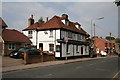
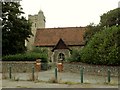
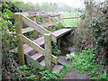
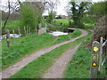
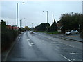
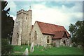
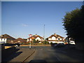
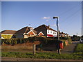
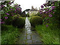
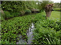
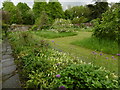
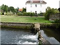
39 photos from this area
Area Information
Key information about the DA4 9HH including its size, population, and administrative classification.
- Area Type
- Postcode
- Area Size
- 6.2 hectares
- Population
- 1810
- Population Density
- 541 people/km²
House Prices in DA4 9HH
36
Properties
£308,187
Average Sold Price
£140,000
Lowest Price
£463,000
Highest Price
Showing 36 properties
| Address | Type | Beds | Baths | Last Sale Price | Last Sale Date | |
|---|---|---|---|---|---|---|
| 29 Keith Avenue, Sutton At Hone, DA4 9HH | Bungalow | 2 | 1 | £422,500 | Nov 2025 | |
| 12 Keith Avenue, Sutton At Hone, DA4 9HH | Detached | 3 | 1 | £430,000 | Dec 2023 | |
| 3 Keith Avenue, Sutton At Hone, DA4 9HH | Semi-detached | 4 | 1 | £450,000 | Sep 2022 | |
| 25 Keith Avenue, Sutton At Hone, DA4 9HH | Bungalow | - | - | £370,000 | Sep 2021 | |
| 38 Keith Avenue, Sutton At Hone, DA4 9HH | Bungalow | 2 | - | £401,000 | Jun 2021 | |
| 21 Keith Avenue, Sutton At Hone, DA4 9HH | Semi-detached | 2 | 1 | £355,000 | May 2020 | |
| 33 Keith Avenue, Sutton At Hone, DA4 9HH | Bungalow | 5 | 3 | £350,000 | Dec 2019 | |
| 23 Keith Avenue, Sutton At Hone, DA4 9HH | Bungalow | 3 | 1 | £345,000 | Nov 2018 | |
| 18 Keith Avenue, Sutton At Hone, DA4 9HH | Semi-detached | 2 | 1 | £322,000 | Sep 2017 | |
| 1 Keith Avenue, Sutton At Hone, DA4 9HH | Detached | 4 | 1 | £430,000 | Apr 2017 |
Page 1 of 4
Energy Efficiency in DA4 9HH
Amenities
Schools
| Rank | School | Type | Entry gender | Ages |
|---|
Explore more schools in this area
Go to Schools tabDemographics
Household Size
Family (3-5 people)
most common
Accommodation Type
Houses
most common
Tenure
89
majority
Ethnic Group
White
most common
Religion
N/A
most common
Household Composition
N/A
most common
Age
47
median
Adults (30-64 years)
most common
Household Deprivation
N/A
with no deprivation
NS-SEC
34
in Lower managerial occupations
Explore more demographic insights in this area
Go to Demographics tabPlanning
Planning Constraints
- Flood RiskPremium
- Ramsar Wetland SitesPremium
- Area of Outstanding Natural BeautyPremium
- Protected Nature ReservePremium
- Protected WoodlandPremium