Area Overview for DA4 9DJ
Photos of DA4 9DJ
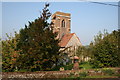
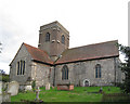
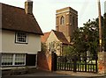
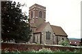
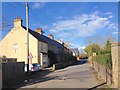
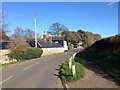
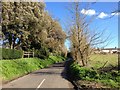
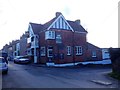
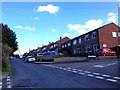
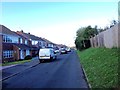
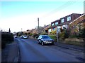
78 photos from this area
Area Information
Key information about the DA4 9DJ including its size, population, and administrative classification.
- Area Type
- Postcode
- Area Size
- 2.9 hectares
- Population
- 1507
- Population Density
- 335 people/km²
House Prices in DA4 9DJ
20
Properties
£362,188
Average Sold Price
£160,000
Lowest Price
£650,000
Highest Price
Showing 20 properties
| Address | Type | Beds | Baths | Last Sale Price | Last Sale Date | |
|---|---|---|---|---|---|---|
| 3 Rashleigh Way, Horton Kirby, DA4 9DJ | house | - | - | £430,000 | May 2024 | |
| 17 Rashleigh Way, Horton Kirby, DA4 9DJ | house | - | - | £650,000 | Jun 2021 | |
| 14 Rashleigh Way, Horton Kirby, DA4 9DJ | Semi-detached | 3 | 1 | £420,000 | Oct 2019 | |
| 12 Rashleigh Way, Horton Kirby, DA4 9DJ | Semi-detached | 3 | 1 | £400,000 | Nov 2018 | |
| 6 Rashleigh Way, Horton Kirby, DA4 9DJ | house | - | - | £267,500 | Feb 2012 | |
| 10 Rashleigh Way, Horton Kirby, DA4 9DJ | Semi-detached | - | - | £305,000 | Jun 2007 | |
| 4 Rashleigh Way, Horton Kirby, DA4 9DJ | Semi-detached | - | - | £265,000 | Jan 2005 | |
| 18 Rashleigh Way, Horton Kirby, DA4 9DJ | house | - | - | £160,000 | Mar 1997 | |
| 11 Rashleigh Way, Horton Kirby, DA4 9DJ | Semi-detached | 4 | 2 | - | - | |
| 13 Rashleigh Way, Horton Kirby, DA4 9DJ | Semi-detached | 3 | 1 | - | - |
Page 1 of 2
Energy Efficiency in DA4 9DJ
Amenities
Schools
| Rank | School | Type | Entry gender | Ages |
|---|
Explore more schools in this area
Go to Schools tabDemographics
Household Size
Two person
most common
Accommodation Type
Houses
most common
Tenure
78
majority
Ethnic Group
White
most common
Religion
N/A
most common
Household Composition
N/A
most common
Age
47
median
Adults (30-64 years)
most common
Household Deprivation
N/A
with no deprivation
NS-SEC
37
in Lower managerial occupations
Explore more demographic insights in this area
Go to Demographics tabPlanning
Planning Constraints
- Flood RiskPremium
- Ramsar Wetland SitesPremium
- Area of Outstanding Natural BeautyPremium
- Protected Nature ReservePremium
- Protected WoodlandPremium