Area Overview for DA3 8NA
Photos of DA3 8NA
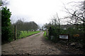
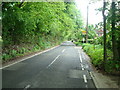
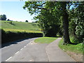
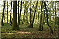
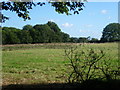
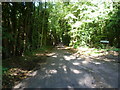
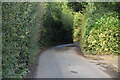
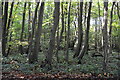
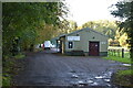
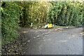
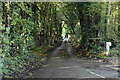
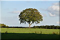
17 photos from this area
Area Information
Key information about the DA3 8NA including its size, population, and administrative classification.
- Area Type
- Postcode
- Area Size
- 43.2 hectares
- Population
- 1472
- Population Density
- 161 people/km²
House Prices in DA3 8NA
32
Properties
£655,556
Average Sold Price
£55,000
Lowest Price
£1,045,000
Highest Price
Showing 32 properties
| Address | Type | Beds | Baths | Last Sale Price | Last Sale Date | |
|---|---|---|---|---|---|---|
| Ridgewood, Valley Road, Fawkham, DA3 8NA | house | - | - | £300,000 | May 2025 | |
| Newbery Lodge, Valley Road, Fawkham, DA3 8NA | Detached | 4 | 2 | £800,000 | Dec 2024 | |
| Crispins, Valley Road, Fawkham, DA3 8NA | Bungalow | 3 | 2 | £760,000 | Mar 2023 | |
| Greenacre, Valley Road, Fawkham, DA3 8NA | Detached | 5 | 3 | £1,000,000 | May 2022 | |
| Parefield Farm, Valley Road, Fawkham, DA3 8NA | Detached | 4 | 2 | £1,045,000 | Jan 2019 | |
| Manor Cottage, Valley Road, Fawkham, DA3 8NA | Terraced | 4 | 2 | £435,000 | Jan 2014 | |
| The Brambles, Valley Road, Fawkham, DA3 8NA | house | - | - | £975,000 | Feb 2008 | |
| Malabar, Valley Road, Fawkham, DA3 8NA | house | - | - | £530,000 | Jul 2005 | |
| Court Cottage, Valley Road, Fawkham, DA3 8NA | Bungalow | 3 | 1 | £55,000 | Sep 2003 | |
| Court Lodge, Valley Road, Fawkham, DA3 8NA | Detached | 6 | 4 | - | - |
Page 1 of 4
Energy Efficiency in DA3 8NA
Amenities
Schools
| Rank | School | Type | Entry gender | Ages |
|---|
Explore more schools in this area
Go to Schools tabDemographics
Household Size
Two person
most common
Accommodation Type
Houses
most common
Tenure
75
majority
Ethnic Group
White
most common
Religion
N/A
most common
Household Composition
N/A
most common
Age
47
median
Adults (30-64 years)
most common
Household Deprivation
N/A
with no deprivation
NS-SEC
35
in Lower managerial occupations
Explore more demographic insights in this area
Go to Demographics tabPlanning
Planning Constraints
- Flood RiskPremium
- Ramsar Wetland SitesPremium
- Area of Outstanding Natural BeautyPremium
- Protected Nature ReservePremium
- Protected WoodlandPremium